Järnforsen geodata
Järnforsen (Kalmar) is a populated place; located in Sweden in Europe/Stockholm (GMT+2) time zone. With population of 510 people, there are 1302 cities with bigger population in this country. Compared to other cities in Sweden, 73% of cities are located further ↑North; 57.2% of cities are located further ←West and 73.4% of cities have lower elevation than Järnforsen. Note1


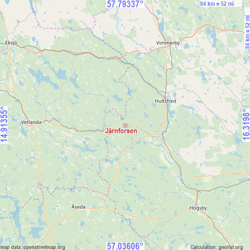
Järnforsen GPS coordinates[2]
57° 25' 0.012" North, 15° 37' 0.012" East
| Map corner | latitude | longitude |
|---|---|---|
| Upper-left | 57.79337°, | 14.91355° |
| Center: | 57.41667°, | 15.61667° |
| Lower-right: | 57.03606°, | 16.3198° |
| Map W x H: | 84.2×84.2 km | = 52.3×52.3mi |
| max Lat: | 67.85572° ⇑73% North |
| Järnforsen: | 57.41667° |
| min Lat: | ⇓27% South 55.34337° |
| min Long | Järnforsen | max Long |
| 11.1712° | 15.61667° | 24.13676° |
| W 57.2%⇐ | ⇒42.8% E |
Elevation
Elevation of Järnforsen is 111 m = 364 ft, and this is 28.4 m = 93 ft above average elevation for this country.
| Max E: |
663 m = 2175 ft | 26.6% |
| Järnforsen | 111 m 364 ft | |
| Avg. | 82.6 m = 271 ft | |
Min E: |
-1 m = -3 ft | 73.4% |
See also: Sweden elevation on elevation.city.
Geographical zone
Järnforsen is located in North temperate zone (between Tropic of Cancer and the Arctic Circle). Distance of this North polar circle is 1017 km =631.9 mi to North.| Distance of | km | miles | from Järnforsen |
|---|---|---|---|
| North Pole | 3622.9 | 2251.2 | to North |
| Arctic Circle | 1017 | 631.9 | to North |
| Tropic Cancer | 3778.2 | 2347.7 | to South |
| Equator | 6384.1 | 3966.9 | to South |


Nearby cities:
15 places around Järnforsen: (largest is in red/bold)
• Berga
33.5 km =20.8 mi,  131°
131°
• Holsbybrunn
25 km =15.5 mi,  274°
274°
• Hultsfred
15.7 km =9.8 mi,  59°
59°
• Hällaryd
27.5 km =17.1 mi,  281°
281°
• Korsberga
32.1 km =19.9 mi,  246°
246°
• Kristdala
35.3 km =21.9 mi,  92°
92°
• Mariannelund
22.4 km =13.9 mi,  352°
352°
• Målilla
11.8 km =7.3 mi,  105°
105°
• Mörlunda
17.9 km =11.1 mi, 128°
• Silverdalen
16 km =9.9 mi,  30°
30°
• Storebro
23.2 km =14.4 mi,  36°
36°
• Vetlanda
32.3 km =20.1 mi, 272°
• Vimmerby
31.2 km =19.4 mi, 27°
• Virserum
11.3 km =7 mi,  190°
190°
• Åseda
31.9 km =19.8 mi,  210°
210°
Sources, notices
• [Note1] Compared only with cities in Sweden existing in our database
• [Src1] Map data: © OpenStreetMap contributors (CC-BY-SA)
• [Src2] Other city data from geonames.org with taken over terms of usage.
• [Src3] Geographical zone / Annual Mean Temperature by Robert A. Rohde @ Wikipedia
