Tambura geodata
Tambura is a seat of a first-order administrative division; located in South Sudan in Africa/Juba (GMT+2) time zone. With population of 9,483 people, there are 15 cities with bigger population in this country. Compared to other cities in South Sudan, 72.7% of cities are located further ↑North; 93.9% of cities are located further →East and 84.8% of cities have lower elevation than Tambura. Note1


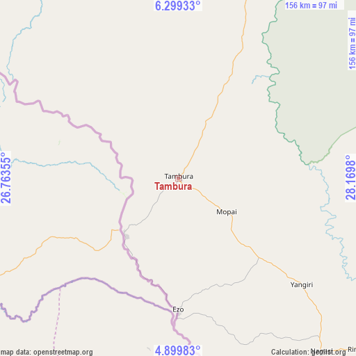
Tambura GPS coordinates[2]
5° 36' 0" North, 27° 28' 0.012" East
| Map corner | latitude | longitude |
|---|---|---|
| Upper-left | 6.29933°, | 26.76355° |
| Center: | 5.6°, | 27.46667° |
| Lower-right: | 4.89983°, | 28.1698° |
| Map W x H: | 155.6×155.6 km | = 96.7×96.7mi |
| max Lat: | 11.7431° ⇑72.7% North |
| Tambura: | 5.6° |
| min Lat: | ⇓27.3% South 3.86512° |
| min Long | Tambura | max Long |
| 25.67833° | 27.46667° | 33.92621° |
| W 6.1%⇐ | ⇒93.9% E |
Elevation
Elevation of Tambura is 630 m = 2067 ft, and this is 141.1 m = 463 ft above average elevation for this country.
| Max E: |
836 m = 2743 ft | 15.2% |
| Tambura | 630 m 2067 ft | |
| Avg. | 488.9 m = 1604 ft | |
Min E: |
392 m = 1286 ft | 84.8% |
See also: South Sudan elevation on elevation.city.
Geographical zone
Tambura is located in North Torrid zone (between Equator and Tropic of Cancer). Distance of Equator is 622.7 km =386.9 mi to South.| Distance of | km | miles | from Tambura |
|---|---|---|---|
| North Pole | 9384.4 | 5831.2 | to North |
| Arctic Circle | 6778.5 | 4212 | to North |
| Tropic Cancer | 1983.3 | 1232.4 | to North |
| Equator | 622.7 | 386.9 | to South |


Nearby cities:
15 places around Tambura: (largest is in red/bold)
• Aweil
351.7 km =218.5 mi,  358°
358°
• Cueibet
252.7 km =157 mi,  51°
51°
• Gogrial
333.6 km =207.3 mi,  12°
12°
• Kuacjok
305.8 km =190 mi, 10°
• Maridi
234.4 km =145.6 mi,  108°
108°
• Mayen Abun
405 km =251.7 mi, 13°
• Mundri
317.5 km =197.3 mi,  95°
95°
• Raja
375 km =233 mi,  328°
328°
• Rumbek
278.8 km =173.2 mi,  61°
61°
• Tonj
229.2 km =142.4 mi,  35°
35°
• Wau
240.7 km =149.6 mi, 13°
• Winejok
379.6 km =235.9 mi,  1°
1°
• Yambio
153.8 km =95.6 mi,  138°
138°
• Yei
393 km =244.2 mi,  115°
115°
• Yirol
351.5 km =218.4 mi,  72°
72°
Sources, notices
• [Note1] Compared only with cities in South Sudan existing in our database
• [Src1] Map data: © OpenStreetMap contributors (CC-BY-SA)
• [Src2] Other city data from geonames.org with taken over terms of usage.
• [Src3] Geographical zone / Annual Mean Temperature by Robert A. Rohde @ Wikipedia
