Rumbek geodata
Rumbek (Western Lakes) is a seat of a first-order administrative division; located in South Sudan in Africa/Juba (GMT+2) time zone. With population of 32,083 people, there are 9 cities with bigger population in this country. Compared to other cities in South Sudan, 60.6% of cities are located further ↑North; 63.6% of cities are located further →East and 51.5% of cities have higher elevation than Rumbek. Note1


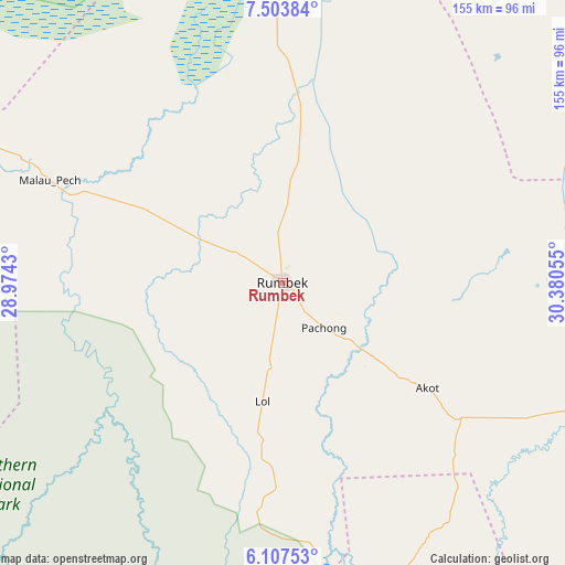
Rumbek GPS coordinates[2]
6° 48' 22.284" North, 29° 40' 38.712" East
| Map corner | latitude | longitude |
|---|---|---|
| Upper-left | 7.50384°, | 28.9743° |
| Center: | 6.80619°, | 29.67742° |
| Lower-right: | 6.10753°, | 30.38055° |
| Map W x H: | 155.3×155.3 km | = 96.5×96.5mi |
| max Lat: | 11.7431° ⇑60.6% North |
| Rumbek: | 6.80619° |
| min Lat: | ⇓39.4% South 3.86512° |
| min Long | Rumbek | max Long |
| 25.67833° | 29.67742° | 33.92621° |
| W 36.4%⇐ | ⇒63.6% E |
Elevation
Elevation of Rumbek is 428 m = 1404 ft, and this is 60.9 m = 200 ft below average elevation for this country.
| Max E: |
836 m = 2743 ft | 51.5% |
| Avg. | 488.9 m = 1604 ft | |
| Rumbek | 428 m = 1404 ft | |
Min E: |
392 m = 1286 ft | 48.5% |
See also: South Sudan elevation on elevation.city.
Geographical zone
Rumbek is located in North Torrid zone (between Equator and Tropic of Cancer). Distance of Equator is 756.8 km =470.3 mi to South.| Distance of | km | miles | from Rumbek |
|---|---|---|---|
| North Pole | 9250.3 | 5747.9 | to North |
| Arctic Circle | 6644.4 | 4128.6 | to North |
| Tropic Cancer | 1849.1 | 1149 | to North |
| Equator | 756.8 | 470.3 | to South |


Nearby cities:
15 places around Rumbek: (largest is in red/bold)
• Ayod
240.5 km =149.4 mi,  52°
52°
• Bentiu
272.9 km =169.6 mi,  2°
2°
• Bor
218.2 km =135.6 mi,  107°
107°
• Cueibet
53.5 km =33.2 mi,  297°
297°
• Gogrial
259 km =160.9 mi,  317°
317°
• Kuacjok
250.4 km =155.6 mi,  311°
311°
• Leer
174.1 km =108.2 mi,  17°
17°
• Maridi
211.4 km =131.4 mi,  186°
186°
• Mundri
177.3 km =110.2 mi,  156°
156°
• Tambura
278.8 km =173.2 mi,  241°
241°
• Terekeka
274.7 km =170.7 mi,  123°
123°
• Tonj
122 km =75.8 mi, 295°
• Wau
211.1 km =131.2 mi, 298°
• Yambio
286.2 km =177.8 mi,  209°
209°
• Yirol
94.9 km =59 mi, 107°
Sources, notices
• [Note1] Compared only with cities in South Sudan existing in our database
• [Src1] Map data: © OpenStreetMap contributors (CC-BY-SA)
• [Src2] Other city data from geonames.org with taken over terms of usage.
• [Src3] Geographical zone / Annual Mean Temperature by Robert A. Rohde @ Wikipedia
