Mongo geodata
Mongo (Guéra) is a seat of a first-order administrative division; located in Chad in Africa/Ndjamena (GMT+1) time zone. With population of 27,763 people, there are 9 cities with bigger population in this country. Compared to other cities in Chad, 57.4% of cities are located further ↓South; 74.5% of cities are located further ←West and 68.1% of cities have lower elevation than Mongo. Note1


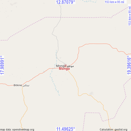
Mongo GPS coordinates[2]
12° 11' 3.876" North, 18° 41' 34.908" East
| Map corner | latitude | longitude |
|---|---|---|
| Upper-left | 12.87079°, | 17.98991° |
| Center: | 12.18441°, | 18.69303° |
| Lower-right: | 11.49625°, | 19.39616° |
| Map W x H: | 152.8×152.8 km | = 94.9×94.9mi |
| max Lat: | 21.8375° ⇑42.6% North |
| Mongo: | 12.18441° |
| min Lat: | ⇓57.4% South 8.26681° |
| min Long | Mongo | max Long |
| 14.1539° | 18.69303° | 22.84308° |
| W 74.5%⇐ | ⇒25.5% E |
Elevation
Elevation of Mongo is 424 m = 1391 ft, and this is 13.3 m = 44 ft below average elevation for this country.
| Max E: |
1046 m = 3432 ft | 31.9% |
| Avg. | 437.3 m = 1435 ft | |
| Mongo | 424 m = 1391 ft | |
Min E: |
242 m = 794 ft | 68.1% |
See also: Chad elevation on elevation.city.
Geographical zone
Mongo is located in North Torrid zone (between Equator and Tropic of Cancer). Distance of this Northern Tropic circle is 1251.1 km =777.4 mi to North.| Distance of | km | miles | from Mongo |
|---|---|---|---|
| North Pole | 8652.3 | 5376.3 | to North |
| Arctic Circle | 6046.4 | 3757.1 | to North |
| Tropic Cancer | 1251.1 | 777.4 | to North |
| Equator | 1354.8 | 841.8 | to South |


Nearby cities:
15 places around Mongo: (largest is in red/bold)
• Abéché
295.2 km =183.4 mi,  51°
51°
• Am Timan
215.5 km =133.9 mi,  126°
126°
• Ati
121 km =75.2 mi,  341°
341°
• Bitkine
56.8 km =35.3 mi,  246°
246°
• Bokoro
178.9 km =111.2 mi,  276°
276°
• Bousso
287.1 km =178.4 mi,  228°
228°
• Dourbali
310.2 km =192.7 mi,  262°
262°
• Goz Beïda
295.3 km =183.5 mi,  89°
89°
• Goz Béïda
280.5 km =174.3 mi, 45°
• Kyabé
305.1 km =189.6 mi,  174°
174°
• Massenya
287.9 km =178.9 mi, 252°
• Melfi
149.8 km =93.1 mi,  213°
213°
• Moussoro
288.6 km =179.3 mi,  304°
304°
• Ngama
171.9 km =106.8 mi, 254°
• Oum Hadjer
164.6 km =102.3 mi,  41°
41°
Sources, notices
• [Note1] Compared only with cities in Chad existing in our database
• [Src1] Map data: © OpenStreetMap contributors (CC-BY-SA)
• [Src2] Other city data from geonames.org with taken over terms of usage.
• [Src3] Geographical zone / Annual Mean Temperature by Robert A. Rohde @ Wikipedia
