Kyabé geodata
Kyabé (Moyen-Chari) is a populated place; located in Chad in Africa/Ndjamena (GMT+1) time zone. With population of 16,177 people, there are 20 cities with bigger population in this country. Compared to other cities in Chad, 70.2% of cities are located further ↑North; 76.6% of cities are located further ←West and 53.2% of cities have lower elevation than Kyabé. Note1


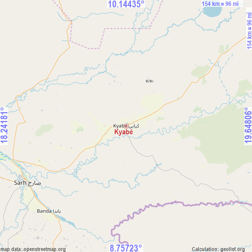
Kyabé GPS coordinates[2]
9° 27' 5.364" North, 18° 56' 41.748" East
| Map corner | latitude | longitude |
|---|---|---|
| Upper-left | 10.14435°, | 18.24181° |
| Center: | 9.45149°, | 18.94493° |
| Lower-right: | 8.75723°, | 19.64806° |
| Map W x H: | 154.2×154.2 km | = 95.8×95.8mi |
| max Lat: | 21.8375° ⇑70.2% North |
| Kyabé: | 9.45149° |
| min Lat: | ⇓29.8% South 8.26681° |
| min Long | Kyabé | max Long |
| 14.1539° | 18.94493° | 22.84308° |
| W 76.6%⇐ | ⇒23.4% E |
Elevation
Elevation of Kyabé is 390 m = 1280 ft, and this is 47.3 m = 155 ft below average elevation for this country.
| Max E: |
1046 m = 3432 ft | 46.8% |
| Avg. | 437.3 m = 1435 ft | |
| Kyabé | 390 m = 1280 ft | |
Min E: |
242 m = 794 ft | 53.2% |
See also: Chad elevation on elevation.city.
Geographical zone
Kyabé is located in North Torrid zone (between Equator and Tropic of Cancer). Distance of Equator is 1050.9 km =653 mi to South.| Distance of | km | miles | from Kyabé |
|---|---|---|---|
| North Pole | 8956.2 | 5565.1 | to North |
| Arctic Circle | 6350.3 | 3945.9 | to North |
| Tropic Cancer | 1555 | 966.2 | to North |
| Equator | 1050.9 | 653 | to South |


Nearby cities:
15 places around Kyabé: (largest is in red/bold)
• Am Timan
228.5 km =142 mi,  39°
39°
• Benoy
292.8 km =181.9 mi,  259°
259°
• Bitkine
292.3 km =181.6 mi,  344°
344°
• Bousso
270.3 km =168 mi,  295°
295°
• Béboto
256.7 km =159.5 mi,  239°
239°
• Bébédja
275.1 km =170.9 mi,  251°
251°
• Béré
306.4 km =190.4 mi,  267°
267°
• Doba
246.7 km =153.3 mi, 248°
• Goundi
173.5 km =107.8 mi, 266°
• Koumra
164 km =101.9 mi, 248°
• Laï
290.1 km =180.3 mi, 268°
• Melfi
210.2 km =130.6 mi,  328°
328°
• Mongo
305.1 km =189.6 mi,  354°
354°
• Moïssala
179 km =111.2 mi,  226°
226°
• Sarh
69.7 km =43.3 mi, 240°
Sources, notices
• [Note1] Compared only with cities in Chad existing in our database
• [Src1] Map data: © OpenStreetMap contributors (CC-BY-SA)
• [Src2] Other city data from geonames.org with taken over terms of usage.
• [Src3] Geographical zone / Annual Mean Temperature by Robert A. Rohde @ Wikipedia
