Varva geodata
Varva (Chernihiv) is a seat of a second-order administrative division; located in Ukraine in Europe/Kiev (GMT+3) time zone. With population of 8,549 people, there are 415 cities with bigger population in this country. Compared to other cities in Ukraine, 90.7% of cities are located further ↓South; 54% of cities are located further →East and 51.8% of cities have higher elevation than Varva. Note1


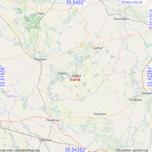
Varva GPS coordinates[2]
50° 29' 42.108" North, 32° 43' 10.848" East
| Map corner | latitude | longitude |
|---|---|---|
| Upper-left | 50.9402°, | 32.01656° |
| Center: | 50.49503°, | 32.71968° |
| Lower-right: | 50.04562°, | 33.42281° |
| Map W x H: | 99.5×99.5 km | = 61.8×61.8mi |
| max Lat: | 52.18903° ⇑9.3% North |
| Varva: | 50.49503° |
| min Lat: | ⇓90.7% South 44.39214° |
| min Long | Varva | max Long |
| 22.20555° | 32.71968° | 40.13222° |
| W 46%⇐ | ⇒54% E |
Elevation
Elevation of Varva is 128 m = 420 ft, and this is 27.8 m = 91 ft below average elevation for this country.
| Max E: |
886 m = 2907 ft | 51.8% |
| Avg. | 155.8 m = 511 ft | |
| Varva | 128 m = 420 ft | |
Min E: |
-3 m = -10 ft | 48.2% |
See also: Ukraine elevation on elevation.city.
Geographical zone
Varva is located in North temperate zone (between Tropic of Cancer and the Arctic Circle). Distance of this North polar circle is 1786.7 km =1110.2 mi to North.| Distance of | km | miles | from Varva |
|---|---|---|---|
| North Pole | 4392.5 | 2729.4 | to North |
| Arctic Circle | 1786.7 | 1110.2 | to North |
| Tropic Cancer | 3008.6 | 1869.5 | to South |
| Equator | 5614.5 | 3488.7 | to South |


Nearby cities:
15 places around Varva: (largest is in red/bold)
• Chornukhy
29.8 km =18.5 mi,  148°
148°
• Dihtyari
10.4 km =6.5 mi,  20°
20°
• Druzhba
42.6 km =26.5 mi,  323°
323°
• Hrebinka
46.6 km =29 mi,  205°
205°
• Ichnya
46.9 km =29.1 mi,  330°
330°
• Ladan
10.1 km =6.3 mi,  285°
285°
• Lisovi Sorochyntsi
35 km =21.7 mi,  308°
308°
• Lokhvytsya
40.8 km =25.4 mi,  110°
110°
• Lozovyy Yar
54.7 km =34 mi,  249°
249°
• Pryluky
25.9 km =16.1 mi, 294°
• Pyryatyn
31.9 km =19.8 mi, 208°
• Sencha
51.8 km =32.2 mi,  121°
121°
• Sribne
23.4 km =14.5 mi,  36°
36°
• Talalayivka
48.5 km =30.1 mi, 37°
• Zhuravka
9 km =5.6 mi,  260°
260°
Sources, notices
• [Note1] Compared only with cities in Ukraine existing in our database
• [Src1] Map data: © OpenStreetMap contributors (CC-BY-SA)
• [Src2] Other city data from geonames.org with taken over terms of usage.
• [Src3] Geographical zone / Annual Mean Temperature by Robert A. Rohde @ Wikipedia
