Dihtyari geodata
Dihtyari (Chernihiv) is a populated place; located in Ukraine in Europe/Kiev (GMT+3) time zone. With population of 1,289 people, there are 1269 cities with bigger population in this country. Compared to other cities in Ukraine, 91.7% of cities are located further ↓South; 53.7% of cities are located further →East and 56.9% of cities have higher elevation than Dihtyari. Note1


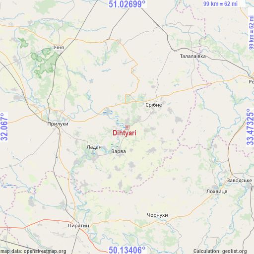
Dihtyari GPS coordinates[2]
50° 34' 57.504" North, 32° 46' 12.432" East
| Map corner | latitude | longitude |
|---|---|---|
| Upper-left | 51.02699°, | 32.067° |
| Center: | 50.58264°, | 32.77012° |
| Lower-right: | 50.13406°, | 33.47325° |
| Map W x H: | 99.3×99.3 km | = 61.7×61.7mi |
| max Lat: | 52.18903° ⇑8.3% North |
| Dihtyari: | 50.58264° |
| min Lat: | ⇓91.7% South 44.39214° |
| min Long | Dihtyari | max Long |
| 22.20555° | 32.77012° | 40.13222° |
| W 46.3%⇐ | ⇒53.7% E |
Elevation
Elevation of Dihtyari is 115 m = 377 ft, and this is 40.8 m = 134 ft below average elevation for this country.
| Max E: |
886 m = 2907 ft | 56.9% |
| Avg. | 155.8 m = 511 ft | |
| Dihtyari | 115 m = 377 ft | |
Min E: |
-3 m = -10 ft | 43.1% |
See also: Ukraine elevation on elevation.city.
Geographical zone
Dihtyari is located in North temperate zone (between Tropic of Cancer and the Arctic Circle). Distance of this North polar circle is 1776.9 km =1104.1 mi to North.| Distance of | km | miles | from Dihtyari |
|---|---|---|---|
| North Pole | 4382.8 | 2723.3 | to North |
| Arctic Circle | 1776.9 | 1104.1 | to North |
| Tropic Cancer | 3018.3 | 1875.5 | to South |
| Equator | 5624.3 | 3494.8 | to South |


Nearby cities:
15 places around Dihtyari: (largest is in red/bold)
• Chornukhy
37.1 km =23.1 mi,  160°
160°
• Druzhba
37.9 km =23.5 mi,  309°
309°
• Hrebinka
56.9 km =35.4 mi,  204°
204°
• Ichnya
40.9 km =25.4 mi,  319°
319°
• Ladan
15 km =9.3 mi,  242°
242°
• Lisovi Sorochyntsi
33.3 km =20.7 mi,  290°
290°
• Lokhvytsya
42.1 km =26.2 mi,  124°
124°
• Pryluky
27 km =16.8 mi,  272°
272°
• Pyryatyn
42.2 km =26.2 mi,  206°
206°
• Romny
53.1 km =33 mi,  69°
69°
• Sencha
54.7 km =34 mi,  131°
131°
• Sribne
13.8 km =8.6 mi,  49°
49°
• Talalayivka
38.8 km =24.1 mi,  42°
42°
• Varva
10.4 km =6.5 mi, 200°
• Zhuravka
16.8 km =10.4 mi,  227°
227°
Sources, notices
• [Note1] Compared only with cities in Ukraine existing in our database
• [Src1] Map data: © OpenStreetMap contributors (CC-BY-SA)
• [Src2] Other city data from geonames.org with taken over terms of usage.
• [Src3] Geographical zone / Annual Mean Temperature by Robert A. Rohde @ Wikipedia
