Poltava geodata
Poltava is a seat of a first-order administrative division; located in Ukraine in Europe/Kiev (GMT+3) time zone. With population of 317,847 people, there are 17 cities with bigger population in this country. Compared to other cities in Ukraine, 76.1% of cities are located further ↓South; 73.8% of cities are located further ←West and 57.2% of cities have lower elevation than Poltava. Note1


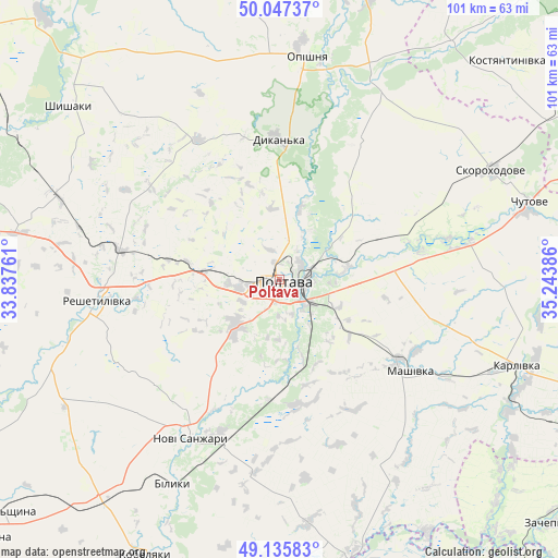
Poltava GPS coordinates[2]
49° 35' 37.428" North, 34° 32' 26.628" East
| Map corner | latitude | longitude |
|---|---|---|
| Upper-left | 50.04737°, | 33.83761° |
| Center: | 49.59373°, | 34.54073° |
| Lower-right: | 49.13583°, | 35.24386° |
| Map W x H: | 101.4×101.4 km | = 63×63mi |
| max Lat: | 52.18903° ⇑23.9% North |
| Poltava: | 49.59373° |
| min Lat: | ⇓76.1% South 44.39214° |
| min Long | Poltava | max Long |
| 22.20555° | 34.54073° | 40.13222° |
| W 73.8%⇐ | ⇒26.2% E |
Elevation
Elevation of Poltava is 159 m = 522 ft, and this is 3.2 m = 10 ft above average elevation for this country.
| Max E: |
886 m = 2907 ft | 42.8% |
| Poltava | 159 m 522 ft | |
| Avg. | 155.8 m = 511 ft | |
Min E: |
-3 m = -10 ft | 57.2% |
See also: Poltava elevation on elevation.city.
Geographical zone
Poltava is located in North temperate zone (between Tropic of Cancer and the Arctic Circle). Distance of this North polar circle is 1886.9 km =1172.5 mi to North.| Distance of | km | miles | from Poltava |
|---|---|---|---|
| North Pole | 4492.8 | 2791.7 | to North |
| Arctic Circle | 1886.9 | 1172.5 | to North |
| Tropic Cancer | 2908.4 | 1807.2 | to South |
| Equator | 5514.3 | 3426.4 | to South |


Nearby cities:
15 places around Poltava: (largest is in red/bold)
• Chutove
46.8 km =29.1 mi,  73°
73°
• Dykan’ka
25.7 km =16 mi,  357°
357°
• Hupalivka
55.5 km =34.5 mi,  165°
165°
• Karlivka
45.1 km =28 mi,  109°
109°
• Kobelyaky
55.4 km =34.4 mi,  206°
206°
• Kolomak
61.3 km =38.1 mi,  63°
63°
• Kotel’va
55.1 km =34.2 mi,  16°
16°
• Lutovynivka
60.7 km =37.7 mi,  229°
229°
• Mashivka
28.9 km =18 mi,  125°
125°
• Novi Sanzhary
32.4 km =20.1 mi, 210°
• Oposhnya
40.7 km =25.3 mi,  7°
7°
• Reshetylivka
33.5 km =20.8 mi,  264°
264°
• Shyshaky
49.7 km =30.9 mi,  310°
310°
• Varvarivka
48 km =29.8 mi,  97°
97°
• Velyka Bahachka
62.8 km =39 mi,  290°
290°
Sources, notices
• [Note1] Compared only with cities in Ukraine existing in our database
• [Src1] Map data: © OpenStreetMap contributors (CC-BY-SA)
• [Src2] Other city data from geonames.org with taken over terms of usage.
• [Src3] Geographical zone / Annual Mean Temperature by Robert A. Rohde @ Wikipedia
