Chakari geodata
Chakari (Mashonaland West) is a populated place; located in Zimbabwe in Africa/Harare (GMT+2) time zone. With population of 6,472 people, there are 40 cities with bigger population in this country. Compared to other cities in Zimbabwe, 61.5% of cities are located further ↓South; 67.7% of cities are located further →East and 70.8% of cities have higher elevation than Chakari. Note1


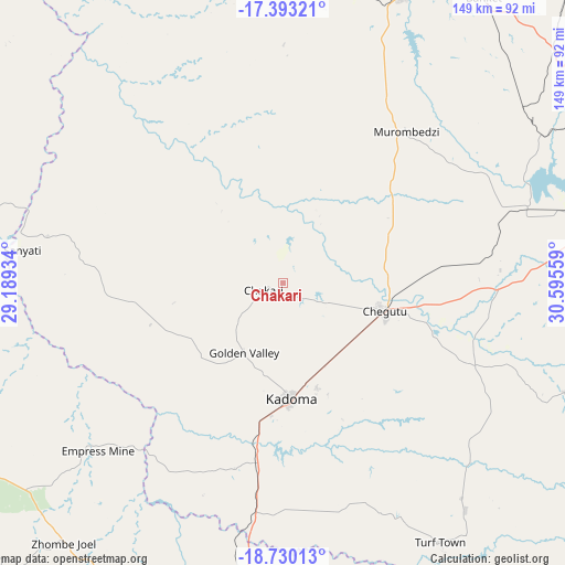
Chakari GPS coordinates[2]
18° 3' 46.584" South, 29° 53' 32.856" East
| Map corner | latitude | longitude |
|---|---|---|
| Upper-left | -17.39321°, | 29.18934° |
| Center: | -18.06294°, | 29.89246° |
| Lower-right: | -18.73013°, | 30.59559° |
| Map W x H: | 148.7×148.7 km | = 92.4×92.4mi |
| max Lat: | -16.03333° ⇑38.5% North |
| Chakari: | -18.06294° |
| min Lat: | ⇓61.5% South -22.21667° |
| min Long | Chakari | max Long |
| 25.83066° | 29.89246° | 32.86667° |
| W 32.3%⇐ | ⇒67.7% E |
Elevation
Elevation of Chakari is 1107 m = 3632 ft, and this is 90.7 m = 298 ft below average elevation for this country.
| Max E: |
1706 m = 5597 ft | 70.8% |
| Avg. | 1197.7 m = 3929 ft | |
| Chakari | 1107 m = 3632 ft | |
Min E: |
402 m = 1319 ft | 29.2% |
See also: Zimbabwe elevation on elevation.city.
Geographical zone
Chakari is located in South Torrid zone (between Equator and Tropic of Capricorn). Distance of this Southern Tropic circle is 597.5 km =371.3 mi to South.| Distance of | km | miles | from Chakari |
|---|---|---|---|
| Equator | 2008.4 | 1248 | to North |
| Tropic Capricorn | 597.5 | 371.3 | to South |
| Antarctic Circle | 5392.8 | 3350.9 | to South |
| South Pole | 7998.7 | 4970.2 | to South |


Nearby cities:
15 places around Chakari: (largest is in red/bold)
• Banket
92.7 km =57.6 mi,  35°
35°
• Beatrice
103.1 km =64.1 mi,  101°
101°
• Chegutu
27.3 km =17 mi,  105°
105°
• Chinhoyi
84 km =52.2 mi,  22°
22°
• Chitungwiza
125.2 km =77.8 mi,  87°
87°
• Epworth
134.1 km =83.3 mi,  81°
81°
• Gokwe
102.4 km =63.6 mi,  261°
261°
• Harare
125.6 km =78 mi, 77°
• Kadoma
30.2 km =18.8 mi,  175°
175°
• Kwekwe
96.5 km =60 mi, 184°
• Mazowe
130.3 km =81 mi,  61°
61°
• Mhangura
133.2 km =82.8 mi,  12°
12°
• Norton
87.7 km =54.5 mi, 76°
• Raffingora
128 km =79.5 mi,  26°
26°
• Redcliff
108.5 km =67.4 mi,  186°
186°
Sources, notices
• [Note1] Compared only with cities in Zimbabwe existing in our database
• [Src1] Map data: © OpenStreetMap contributors (CC-BY-SA)
• [Src2] Other city data from geonames.org with taken over terms of usage.
• [Src3] Geographical zone / Annual Mean Temperature by Robert A. Rohde @ Wikipedia
