Beatrice geodata
Beatrice (Mashonaland East) is a populated place; located in Zimbabwe in Africa/Harare (GMT+2) time zone. With population of 1,647 people, there are 61 cities with bigger population in this country. Compared to other cities in Zimbabwe, 52.3% of cities are located further ↓South; 55.4% of cities are located further ←West and 61.5% of cities have lower elevation than Beatrice. Note1


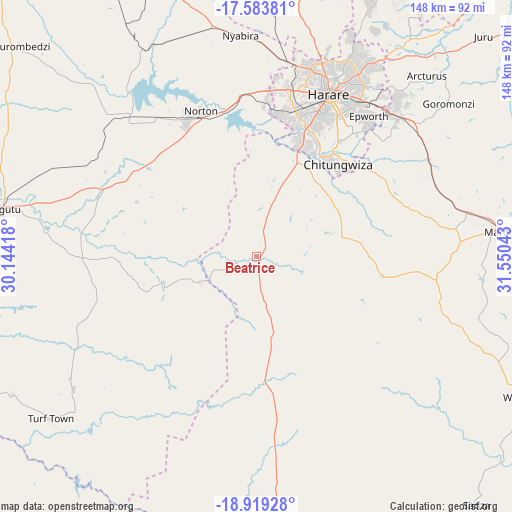
Beatrice GPS coordinates[2]
18° 15' 10.188" South, 30° 50' 50.28" East
| Map corner | latitude | longitude |
|---|---|---|
| Upper-left | -17.58381°, | 30.14418° |
| Center: | -18.25283°, | 30.8473° |
| Lower-right: | -18.91928°, | 31.55043° |
| Map W x H: | 148.5×148.5 km | = 92.3×92.3mi |
| max Lat: | -16.03333° ⇑47.7% North |
| Beatrice: | -18.25283° |
| min Lat: | ⇓52.3% South -22.21667° |
| min Long | Beatrice | max Long |
| 25.83066° | 30.8473° | 32.86667° |
| W 55.4%⇐ | ⇒44.6% E |
Elevation
Elevation of Beatrice is 1307 m = 4288 ft, and this is 109.3 m = 359 ft above average elevation for this country.
| Max E: |
1706 m = 5597 ft | 38.5% |
| Beatrice | 1307 m 4288 ft | |
| Avg. | 1197.7 m = 3929 ft | |
Min E: |
402 m = 1319 ft | 61.5% |
See also: Zimbabwe elevation on elevation.city.
Geographical zone
Beatrice is located in South Torrid zone (between Equator and Tropic of Capricorn). Distance of this Southern Tropic circle is 576.4 km =358.2 mi to South.| Distance of | km | miles | from Beatrice |
|---|---|---|---|
| Equator | 2029.5 | 1261.1 | to North |
| Tropic Capricorn | 576.4 | 358.2 | to South |
| Antarctic Circle | 5371.6 | 3337.8 | to South |
| South Pole | 7977.5 | 4957 | to South |


Nearby cities:
15 places around Beatrice: (largest is in red/bold)
• Banket
107.7 km =66.9 mi,  333°
333°
• Chakari
103.1 km =64.1 mi,  281°
281°
• Chegutu
75.9 km =47.2 mi, 280°
• Chitungwiza
36 km =22.4 mi,  42°
42°
• Chivhu
85.6 km =53.2 mi,  176°
176°
• Concession
97.3 km =60.5 mi,  6°
6°
• Epworth
51.3 km =31.9 mi, 38°
• Glendale
102.5 km =63.7 mi, 13°
• Harare
52 km =32.3 mi,  24°
24°
• Kadoma
98.8 km =61.4 mi,  264°
264°
• Macheke
106.6 km =66.2 mi,  83°
83°
• Marondera
74.8 km =46.5 mi, 84°
• Mazowe
84.3 km =52.4 mi, 9°
• Norton
43.9 km =27.3 mi,  339°
339°
• Ruwa
58.3 km =36.2 mi,  46°
46°
Sources, notices
• [Note1] Compared only with cities in Zimbabwe existing in our database
• [Src1] Map data: © OpenStreetMap contributors (CC-BY-SA)
• [Src2] Other city data from geonames.org with taken over terms of usage.
• [Src3] Geographical zone / Annual Mean Temperature by Robert A. Rohde @ Wikipedia
