Epworth geodata
Epworth (Harare) is a section of populated place; located in Zimbabwe in Africa/Harare (GMT+2) time zone. With population of 123,250 people, there are 5 cities with bigger population in this country. Compared to other cities in Zimbabwe, 66.2% of cities are located further ↓South; 69.2% of cities are located further ←West and 90.8% of cities have lower elevation than Epworth. Note1


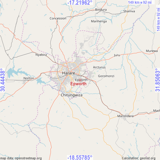
Epworth GPS coordinates[2]
17° 53' 24" South, 31° 8' 51" East
| Map corner | latitude | longitude |
|---|---|---|
| Upper-left | -17.21962°, | 30.44438° |
| Center: | -17.89°, | 31.1475° |
| Lower-right: | -18.55785°, | 31.85063° |
| Map W x H: | 148.8×148.8 km | = 92.5×92.5mi |
| max Lat: | -16.03333° ⇑33.8% North |
| Epworth: | -17.89° |
| min Lat: | ⇓66.2% South -22.21667° |
| min Long | Epworth | max Long |
| 25.83066° | 31.1475° | 32.86667° |
| W 69.2%⇐ | ⇒30.8% E |
Elevation
Elevation of Epworth is 1508 m = 4948 ft, and this is 310.3 m = 1018 ft above average elevation for this country.
| Max E: |
1706 m = 5597 ft | 9.2% |
| Epworth | 1508 m 4948 ft | |
| Avg. | 1197.7 m = 3929 ft | |
Min E: |
402 m = 1319 ft | 90.8% |
See also: Epworth elevation on elevation.city.
Geographical zone
Epworth is located in South Torrid zone (between Equator and Tropic of Capricorn). Distance of this Southern Tropic circle is 616.7 km =383.2 mi to South.| Distance of | km | miles | from Epworth |
|---|---|---|---|
| Equator | 1989.2 | 1236 | to North |
| Tropic Capricorn | 616.7 | 383.2 | to South |
| Antarctic Circle | 5412 | 3362.9 | to South |
| South Pole | 8017.9 | 4982.1 | to South |


Nearby cities:
15 places around Epworth: (largest is in red/bold)
• Banket
97.2 km =60.4 mi,  305°
305°
• Beatrice
51.3 km =31.9 mi,  218°
218°
• Bindura
68.2 km =42.4 mi,  16°
16°
• Chitungwiza
15.6 km =9.7 mi,  209°
209°
• Concession
60.1 km =37.3 mi,  339°
339°
• Glendale
60.1 km =37.3 mi,  351°
351°
• Harare
12.1 km =7.5 mi,  304°
304°
• Macheke
79.2 km =49.2 mi,  110°
110°
• Marondera
53.9 km =33.5 mi,  127°
127°
• Mazowe
46.7 km =29 mi, 336°
• Murehwa
72.8 km =45.2 mi,  67°
67°
• Mvurwi
100.3 km =62.3 mi, 341°
• Norton
47.4 km =29.5 mi,  270°
270°
• Ruwa
10.3 km =6.4 mi,  89°
89°
• Shamva
78.7 km =48.9 mi,  35°
35°
Sources, notices
• [Note1] Compared only with cities in Zimbabwe existing in our database
• [Src1] Map data: © OpenStreetMap contributors (CC-BY-SA)
• [Src2] Other city data from geonames.org with taken over terms of usage.
• [Src3] Geographical zone / Annual Mean Temperature by Robert A. Rohde @ Wikipedia
