Qalāt geodata
Qalāt (Zabul) is a seat of a first-order administrative division; located in Afghanistan in Asia/Kabul (GMT+4.5) time zone. With population of 12,191 people, there are 58 cities with bigger population in this country. Compared to other cities in Afghanistan, 92% of cities are located further ↑North; 62.1% of cities are located further →East and 57.6% of cities have lower elevation than Qalāt. Note1


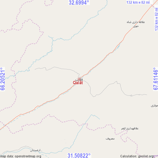
Qalāt GPS coordinates[2]
32° 6' 20.7" North, 66° 54' 29.988" East
| Map corner | latitude | longitude |
|---|---|---|
| Upper-left | 32.6994°, | 66.20521° |
| Center: | 32.10575°, | 66.90833° |
| Lower-right: | 31.50822°, | 67.61146° |
| Map W x H: | 132.4×132.4 km | = 82.3×82.3mi |
| max Lat: | 38.4435° ⇑92% North |
| Qalāt: | 32.10575° |
| min Lat: | ⇓8% South 30.15° |
| min Long | Qalāt | max Long |
| 61.06667° | 66.90833° | 72.318° |
| W 37.9%⇐ | ⇒62.1% E |
Elevation
Elevation of Qalāt is 1568 m = 5144 ft, and this is 149.6 m = 491 ft above average elevation for this country.
| Max E: |
3068 m = 10066 ft | 42.4% |
| Qalāt | 1568 m 5144 ft | |
| Avg. | 1418.4 m = 4654 ft | |
Min E: |
254 m = 833 ft | 57.6% |
See also: Afghanistan elevation on elevation.city.
Geographical zone
Qalāt is located in North temperate zone (between Tropic of Cancer and the Arctic Circle). Distance of this Northern Tropic circle is 963.9 km =598.9 mi to South.| Distance of | km | miles | from Qalāt |
|---|---|---|---|
| North Pole | 6437.2 | 3999.9 | to North |
| Arctic Circle | 3831.3 | 2380.7 | to North |
| Tropic Cancer | 963.9 | 598.9 | to South |
| Equator | 3569.8 | 2218.2 | to South |


Nearby cities:
15 places around Qalāt: (largest is in red/bold)
• Arghestān
72.5 km =45 mi,  213°
213°
• Khākirān
82.9 km =51.5 mi,  10°
10°
• Khūgyāṉī
67.8 km =42.1 mi, 207°
• Muqêr
113.3 km =70.4 mi,  45°
45°
• Mīzān ‘Alāqahdārī
38.1 km =23.7 mi,  281°
281°
• Nāyak
53.4 km =33.2 mi,  346°
346°
• Shahr-e Şafā
64.6 km =40.1 mi,  238°
238°
• Sāyagaz
52.4 km =32.6 mi, 12°
• Tarinkot
113 km =70.2 mi,  301°
301°
• Uruzgān
95 km =59 mi,  344°
344°
• Zamtō Kêlay
74.9 km =46.5 mi,  293°
293°
• Ḩukūmat-e Shīnkaī
42.5 km =26.4 mi,  108°
108°
• ‘Alāqahdārī Aṯghar
59.1 km =36.7 mi,  134°
134°
• ‘Alāqahdārī Gēlān
97.2 km =60.4 mi,  44°
44°
• ‘Alāqahdārī Shāh Jōy
66.2 km =41.1 mi, 45°
Sources, notices
• [Note1] Compared only with cities in Afghanistan existing in our database
• [Src1] Map data: © OpenStreetMap contributors (CC-BY-SA)
• [Src2] Other city data from geonames.org with taken over terms of usage.
• [Src3] Geographical zone / Annual Mean Temperature by Robert A. Rohde @ Wikipedia
