Mīrān geodata
Mīrān (Vardak) is a seat of a second-order administrative division; located in Afghanistan in Asia/Kabul (GMT+4.5) time zone. In our database, there are 93 cities with bigger population. Compared to other cities in Afghanistan, 62.4% of cities are located further ↑North; 52.4% of cities are located further →East and 92.3% of cities have lower elevation than Mīrān. Note1


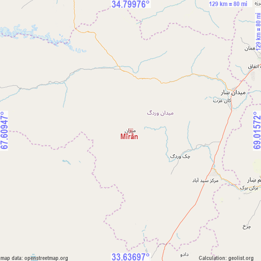
Mīrān GPS coordinates[2]
34° 13' 13.332" North, 68° 18' 45.324" East
| Map corner | latitude | longitude |
|---|---|---|
| Upper-left | 34.79976°, | 67.60947° |
| Center: | 34.22037°, | 68.31259° |
| Lower-right: | 33.63697°, | 69.01572° |
| Map W x H: | 129.3×129.3 km | = 80.3×80.3mi |
| max Lat: | 38.4435° ⇑62.4% North |
| Mīrān: | 34.22037° |
| min Lat: | ⇓37.6% South 30.15° |
| min Long | Mīrān | max Long |
| 61.06667° | 68.31259° | 72.318° |
| W 47.6%⇐ | ⇒52.4% E |
Elevation
Elevation of Mīrān is 2457 m = 8061 ft, and this is 1038.6 m = 3407 ft above average elevation for this country.
| Max E: |
3068 m = 10066 ft | 7.7% |
| Mīrān | 2457 m 8061 ft | |
| Avg. | 1418.4 m = 4654 ft | |
Min E: |
254 m = 833 ft | 92.3% |
See also: Afghanistan elevation on elevation.city.
Geographical zone
Mīrān is located in North temperate zone (between Tropic of Cancer and the Arctic Circle). Distance of this Northern Tropic circle is 1199 km =745 mi to South.| Distance of | km | miles | from Mīrān |
|---|---|---|---|
| North Pole | 6202.1 | 3853.8 | to North |
| Arctic Circle | 3596.2 | 2234.6 | to North |
| Tropic Cancer | 1199 | 745 | to South |
| Equator | 3804.9 | 2364.3 | to South |


Nearby cities:
15 places around Mīrān: (largest is in red/bold)
• Baraki Barak
65 km =40.4 mi,  115°
115°
• Chahār Qal‘ah
74.3 km =46.2 mi,  181°
181°
• Chandal Bā’ī
71.5 km =44.4 mi,  55°
55°
• Charkh
74.4 km =46.2 mi,  129°
129°
• Ghazni
74.8 km =46.5 mi,  172°
172°
• Jalrēz
42 km =26.1 mi,  48°
48°
• Kalān Deh
43.4 km =27 mi, 169°
• Markaz-e Sayyidābād
44.3 km =27.5 mi, 123°
• Maydanshakhr
54.4 km =33.8 mi,  69°
69°
• Muḩammad Āghah Wuluswālī
72.4 km =45 mi,  90°
90°
• Paghmān
71.4 km =44.4 mi, 55°
• Pul-e ‘Alam
70 km =43.5 mi,  110°
110°
• Tōrmay
59.7 km =37.1 mi, 172°
• Wulêswālī Bihsūd
39.8 km =24.7 mi,  290°
290°
• Ōkak
48.6 km =30.2 mi,  222°
222°
Sources, notices
• [Note1] Compared only with cities in Afghanistan existing in our database
• [Src1] Map data: © OpenStreetMap contributors (CC-BY-SA)
• [Src2] Other city data from geonames.org with taken over terms of usage.
• [Src3] Geographical zone / Annual Mean Temperature by Robert A. Rohde @ Wikipedia
