Lodja geodata
Lodja (Sankuru) is a populated place; located in Democratic Republic of the Congo in Africa/Lubumbashi (GMT+2) time zone. With population of 68,244 people, there are 31 cities with bigger population in this country. Compared to other cities in Democratic Republic of the Congo, 51.4% of cities are located further ↓South; 52.9% of cities are located further ←West and 51.4% of cities have higher elevation than Lodja. Note1


Lodja GPS coordinates[2]
3° 31' 15.78" South, 23° 36' 1.8" East
| Map corner | latitude | longitude |
|---|---|---|
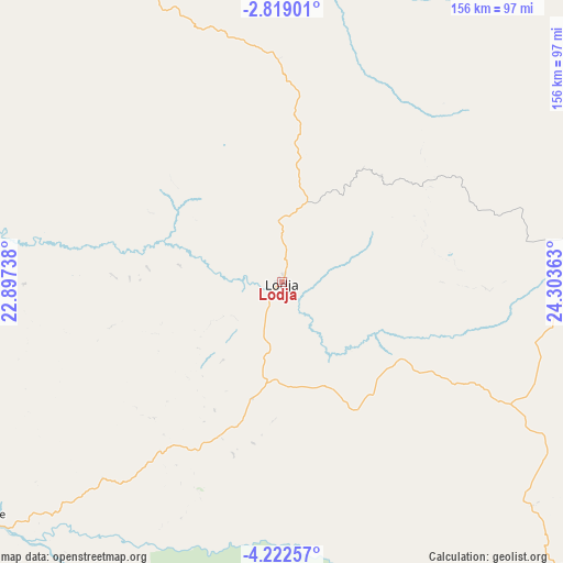
| Upper-left | -2.81901°, | 22.89738° |
| Center: | -3.52105°, | 23.6005° |
| Lower-right: | -4.22257°, | 24.30363° |
| Map W x H: | 156.1×156.1 km | = 97×97mi |
| max Lat: | 4.279° ⇑48.6% North |
| Lodja: | -3.52105° |
| min Lat: | ⇓51.4% South -11.76097° |
| min Long | Lodja | max Long |
| 12.37148° | 23.6005° | 30.25224° |
| W 52.9%⇐ | ⇒47.1% E |
Elevation
Elevation of Lodja is 478 m = 1568 ft, and this is 178 m = 584 ft below average elevation for this country.
| Max E: |
1996 m = 6549 ft | 51.4% |
| Avg. | 656 m = 2152 ft | |
| Lodja | 478 m = 1568 ft | |
Min E: |
11 m = 36 ft | 48.6% |
See also: Lodja elevation on elevation.city.
Geographical zone
Lodja is located in South Torrid zone (between Equator and Tropic of Capricorn). Distance of Equator is 391.5 km =243.3 mi to North.| Distance of | km | miles | from Lodja |
|---|---|---|---|
| Equator | 391.5 | 243.3 | to North |
| Tropic Capricorn | 2214.4 | 1376 | to South |
| Antarctic Circle | 7009.7 | 4355.6 | to South |
| South Pole | 9615.6 | 5974.9 | to South |


Nearby cities:
15 places around Lodja: (largest is in red/bold)
• Demba
264.5 km =164.4 mi,  213°
213°
• Gandajika
360.6 km =224.1 mi,  173°
173°
• Ilebo
346.3 km =215.2 mi,  254°
254°
• Kabinda
306.9 km =190.7 mi,  161°
161°
• Kampene
340.4 km =211.5 mi,  91°
91°
• Kananga
294.9 km =183.2 mi, 206°
• Kasongo
354.7 km =220.4 mi,  106°
106°
• Kindu
265.6 km =165 mi,  76°
76°
• Kongolo
430.1 km =267.3 mi,  118°
118°
• Lubao
315.9 km =196.3 mi,  131°
131°
• Luebo
315.9 km =196.3 mi,  229°
229°
• Lusambo
162.6 km =101 mi,  186°
186°
• Mbuji-Mayi
290.8 km =180.7 mi,  180°
180°
• Mweka
270.4 km =168 mi,  236°
236°
• Mwene-Ditu
388.2 km =241.2 mi, 182°
Sources, notices
• [Note1] Compared only with cities in Democratic Republic of the Congo existing in our database
• [Src1] Map data: © OpenStreetMap contributors (CC-BY-SA)
• [Src2] Other city data from geonames.org with taken over terms of usage.
• [Src3] Geographical zone / Annual Mean Temperature by Robert A. Rohde @ Wikipedia
