Ilebo geodata
Ilebo (Kasai) is a populated place; located in Democratic Republic of the Congo in Africa/Lubumbashi (GMT+2) time zone. With population of 107,093 people, there are 25 cities with bigger population in this country. Compared to other cities in Democratic Republic of the Congo, 54.3% of cities are located further ↑North; 68.6% of cities are located further →East and 58.6% of cities have higher elevation than Ilebo. Note1


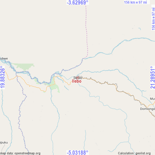
Ilebo GPS coordinates[2]
4° 19' 51.996" South, 20° 35' 10.968" East
| Map corner | latitude | longitude |
|---|---|---|
| Upper-left | -3.62969°, | 19.88326° |
| Center: | -4.33111°, | 20.58638° |
| Lower-right: | -5.03188°, | 21.28951° |
| Map W x H: | 155.9×155.9 km | = 96.9×96.9mi |
| max Lat: | 4.279° ⇑54.3% North |
| Ilebo: | -4.33111° |
| min Lat: | ⇓45.7% South -11.76097° |
| min Long | Ilebo | max Long |
| 12.37148° | 20.58638° | 30.25224° |
| W 31.4%⇐ | ⇒68.6% E |
Elevation
Elevation of Ilebo is 440 m = 1444 ft, and this is 216 m = 709 ft below average elevation for this country.
| Max E: |
1996 m = 6549 ft | 58.6% |
| Avg. | 656 m = 2152 ft | |
| Ilebo | 440 m = 1444 ft | |
Min E: |
11 m = 36 ft | 41.4% |
See also: Ilebo elevation on elevation.city.
Geographical zone
Ilebo is located in South Torrid zone (between Equator and Tropic of Capricorn). Distance of Equator is 481.6 km =299.3 mi to North.| Distance of | km | miles | from Ilebo |
|---|---|---|---|
| Equator | 481.6 | 299.3 | to North |
| Tropic Capricorn | 2124.3 | 1320 | to South |
| Antarctic Circle | 6919.6 | 4299.6 | to South |
| South Pole | 9525.5 | 5918.9 | to South |


Nearby cities:
15 places around Ilebo: (largest is in red/bold)
• Bandundu
373.1 km =231.8 mi,  287°
287°
• Bulungu
221.1 km =137.4 mi,  263°
263°
• Demba
227 km =141.1 mi,  124°
124°
• Inongo
369.5 km =229.6 mi,  316°
316°
• Kananga
267.1 km =166 mi,  130°
130°
• Kikwit
211.5 km =131.4 mi,  248°
248°
• Lodja
346.3 km =215.2 mi,  74°
74°
• Luebo
146.5 km =91 mi,  140°
140°
• Lusambo
324.7 km =201.8 mi,  102°
102°
• Mangai
121.6 km =75.6 mi, 286°
• Mbuji-Mayi
388.4 km =241.3 mi, 121°
• Mushie
432 km =268.4 mi, 289°
• Mweka
122.4 km =76.1 mi, 118°
• Nioki
368 km =228.7 mi,  299°
299°
• Tshikapa
233 km =144.8 mi,  174°
174°
Sources, notices
• [Note1] Compared only with cities in Democratic Republic of the Congo existing in our database
• [Src1] Map data: © OpenStreetMap contributors (CC-BY-SA)
• [Src2] Other city data from geonames.org with taken over terms of usage.
• [Src3] Geographical zone / Annual Mean Temperature by Robert A. Rohde @ Wikipedia
