Yagoua geodata
Yagoua (Far North) is a populated place; located in Cameroon in Africa/Douala (GMT+1) time zone. With population of 80,235 people, there are 21 cities with bigger population in this country. Compared to other cities in Cameroon, 93.4% of cities are located further ↓South; 100% of cities are located further ←West and 76.2% of cities have higher elevation than Yagoua. Note1


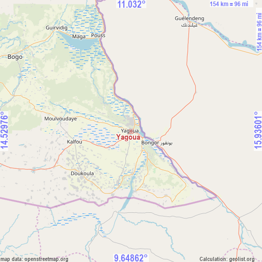
Yagoua GPS coordinates[2]
10° 20' 27.852" North, 15° 13' 58.368" East
| Map corner | latitude | longitude |
|---|---|---|
| Upper-left | 11.032°, | 14.52976° |
| Center: | 10.34107°, | 15.23288° |
| Lower-right: | 9.64862°, | 15.93601° |
| Map W x H: | 153.8×153.8 km | = 95.6×95.6mi |
| max Lat: | 12.57535° ⇑6.6% North |
| Yagoua: | 10.34107° |
| min Lat: | ⇓93.4% South 2.35° |
| min Long | Yagoua | max Long |
| 8.8724° | 15.23288° | 15.23288° |
| W 100%⇐ | ⇒0% E |
Elevation
Elevation of Yagoua is 336 m = 1102 ft, and this is 337.9 m = 1109 ft below average elevation for this country.
| Max E: |
1687 m = 5535 ft | 76.2% |
| Avg. | 673.9 m = 2211 ft | |
| Yagoua | 336 m = 1102 ft | |
Min E: |
1 m = 3 ft | 23.8% |
See also: Yagoua elevation on elevation.city.
Geographical zone
Yagoua is located in North Torrid zone (between Equator and Tropic of Cancer). Distance of Equator is 1149.8 km =714.5 mi to South.| Distance of | km | miles | from Yagoua |
|---|---|---|---|
| North Pole | 8857.2 | 5503.6 | to North |
| Arctic Circle | 6251.4 | 3884.4 | to North |
| Tropic Cancer | 1456.1 | 904.8 | to North |
| Equator | 1149.8 | 714.5 | to South |


Nearby cities:
15 places around Yagoua: (largest is in red/bold)
• Bogo
80.9 km =50.3 mi,  302°
302°
• Garoua
231.9 km =144.1 mi,  240°
240°
• Guider
147.9 km =91.9 mi,  252°
252°
• Kaélé
89.4 km =55.6 mi, 253°
• Kousséri
194.3 km =120.7 mi,  353°
353°
• Koza
158.9 km =98.7 mi,  291°
291°
• Lagdo
223.2 km =138.7 mi,  230°
230°
• Makary
262.5 km =163.1 mi,  341°
341°
• Maroua
104 km =64.6 mi, 285°
• Mindif
87.4 km =54.3 mi,  274°
274°
• Mokolo
162.6 km =101 mi, 285°
• Mora
142.8 km =88.7 mi, 303°
• Pitoa
217.4 km =135.1 mi, 240°
• Rey Bouba
218.6 km =135.8 mi,  211°
211°
• Tcholliré
245.1 km =152.3 mi, 208°
Sources, notices
• [Note1] Compared only with cities in Cameroon existing in our database
• [Src1] Map data: © OpenStreetMap contributors (CC-BY-SA)
• [Src2] Other city data from geonames.org with taken over terms of usage.
• [Src3] Geographical zone / Annual Mean Temperature by Robert A. Rohde @ Wikipedia
