Garoua geodata
Garoua (North) is a seat of a first-order administrative division; located in Cameroon in Africa/Douala (GMT+1) time zone. With population of 436,899 people, there are 2 cities with bigger population in this country. Compared to other cities in Cameroon, 90.2% of cities are located further ↓South; 77.9% of cities are located further ←West and 84.4% of cities have higher elevation than Garoua. Note1


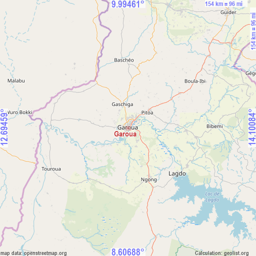
Garoua GPS coordinates[2]
9° 18' 5.148" North, 13° 23' 51.756" East
| Map corner | latitude | longitude |
|---|---|---|
| Upper-left | 9.99461°, | 12.69459° |
| Center: | 9.30143°, | 13.39771° |
| Lower-right: | 8.60688°, | 14.10084° |
| Map W x H: | 154.3×154.3 km | = 95.9×95.9mi |
| max Lat: | 12.57535° ⇑9.8% North |
| Garoua: | 9.30143° |
| min Lat: | ⇓90.2% South 2.35° |
| min Long | Garoua | max Long |
| 8.8724° | 13.39771° | 15.23288° |
| W 77.9%⇐ | ⇒22.1% E |
Elevation
Elevation of Garoua is 199 m = 653 ft, and this is 474.9 m = 1558 ft below average elevation for this country.
| Max E: |
1687 m = 5535 ft | 84.4% |
| Avg. | 673.9 m = 2211 ft | |
| Garoua | 199 m = 653 ft | |
Min E: |
1 m = 3 ft | 15.6% |
See also: Garoua elevation on elevation.city.
Geographical zone
Garoua is located in North Torrid zone (between Equator and Tropic of Cancer). Distance of Equator is 1034.2 km =642.6 mi to South.| Distance of | km | miles | from Garoua |
|---|---|---|---|
| North Pole | 8972.8 | 5575.4 | to North |
| Arctic Circle | 6367 | 3956.3 | to North |
| Tropic Cancer | 1571.7 | 976.6 | to North |
| Equator | 1034.2 | 642.6 | to South |


Nearby cities:
15 places around Garoua: (largest is in red/bold)
• Bogo
207.3 km =128.8 mi,  39°
39°
• Guider
92.5 km =57.5 mi, 40°
• Kaélé
146.2 km =90.8 mi,  52°
52°
• Kontcha
196 km =121.8 mi,  220°
220°
• Koza
182.1 km =113.2 mi,  16°
16°
• Lagdo
40 km =24.9 mi,  132°
132°
• Maroua
175.1 km =108.8 mi, 35°
• Mindif
166.7 km =103.6 mi, 43°
• Mokolo
166.2 km =103.3 mi, 15°
• Mora
210.3 km =130.7 mi, 22°
• Ngaoundéré
220.4 km =137 mi,  174°
174°
• Pitoa
14.7 km =9.1 mi, 51°
• Poli
93.4 km =58 mi,  190°
190°
• Rey Bouba
110.7 km =68.8 mi, 129°
• Tcholliré
131.1 km =81.5 mi,  139°
139°
Sources, notices
• [Note1] Compared only with cities in Cameroon existing in our database
• [Src1] Map data: © OpenStreetMap contributors (CC-BY-SA)
• [Src2] Other city data from geonames.org with taken over terms of usage.
• [Src3] Geographical zone / Annual Mean Temperature by Robert A. Rohde @ Wikipedia
