Kotkhai geodata
Kotkhai (Himachal Pradesh) is a populated place; located in India in Asia/Kolkata (GMT+5.5) time zone. With population of 1,253 people, there are 3456 cities with bigger population in this country. Compared to other cities in India, 96.1% of cities are located further ↓South; 56.8% of cities are located further →East and 98.7% of cities have lower elevation than Kotkhai. Note1


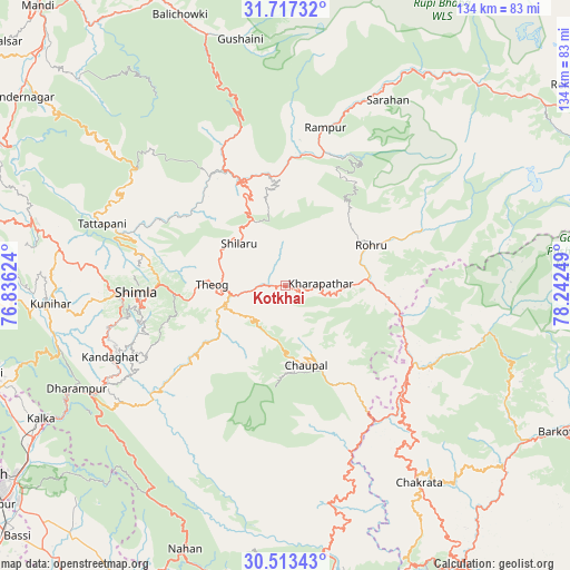
Kotkhai GPS coordinates[2]
31° 7' 2.208" North, 77° 32' 21.696" East
| Map corner | latitude | longitude |
|---|---|---|
| Upper-left | 31.71732°, | 76.83624° |
| Center: | 31.11728°, | 77.53936° |
| Lower-right: | 30.51343°, | 78.24249° |
| Map W x H: | 133.9×133.9 km | = 83.2×83.2mi |
| max Lat: | 34.9274° ⇑3.9% North |
| Kotkhai: | 31.11728° |
| min Lat: | ⇓96.1% South 8.09008° |
| min Long | Kotkhai | max Long |
| 68.82655° | 77.53936° | 96.81° |
| W 43.2%⇐ | ⇒56.8% E |
Elevation
Elevation of Kotkhai is 1676 m = 5499 ft, and this is 1380.4 m = 4529 ft above average elevation for this country.
| Max E: |
3681 m = 12077 ft | 1.3% |
| Kotkhai | 1676 m 5499 ft | |
| Avg. | 295.6 m = 970 ft | |
Min E: |
1 m = 3 ft | 98.7% |
See also: India elevation on elevation.city.
Geographical zone
Kotkhai is located in North temperate zone (between Tropic of Cancer and the Arctic Circle). Distance of this Northern Tropic circle is 854 km =530.7 mi to South.| Distance of | km | miles | from Kotkhai |
|---|---|---|---|
| North Pole | 6547.1 | 4068.2 | to North |
| Arctic Circle | 3941.3 | 2449 | to North |
| Tropic Cancer | 854 | 530.7 | to South |
| Equator | 3459.9 | 2149.9 | to South |


Nearby cities:
15 places around Kotkhai: (largest is in red/bold)
• Arki
54.6 km =33.9 mi,  274°
274°
• Chaupāl
19.6 km =12.2 mi,  166°
166°
• Dagshai
53.2 km =33.1 mi,  240°
240°
• Jubbal
10.7 km =6.6 mi,  94°
94°
• Jutogh
40.3 km =25 mi, 267°
• Nārkanda
17.2 km =10.7 mi,  334°
334°
• Rohru
22.6 km =14 mi,  65°
65°
• Rājgarh
37.3 km =23.2 mi,  217°
217°
• Rāmpur
37.9 km =23.5 mi,  13°
13°
• Sabāthu
54.5 km =33.9 mi,  253°
253°
• Sarāhan
49.9 km =31 mi,  28°
28°
• Seoni
41.9 km =26 mi,  289°
289°
• Shimla
35.5 km =22.1 mi, 267°
• Solan
47.1 km =29.3 mi, 240°
• Theog
17.2 km =10.7 mi, 271°
Sources, notices
• [Note1] Compared only with cities in India existing in our database
• [Src1] Map data: © OpenStreetMap contributors (CC-BY-SA)
• [Src2] Other city data from geonames.org with taken over terms of usage.
• [Src3] Geographical zone / Annual Mean Temperature by Robert A. Rohde @ Wikipedia
