Gopālganj geodata
Gopālganj (Bihar) is a populated place; located in India in Asia/Kolkata (GMT+5.5) time zone. With population of 63,725 people, there are 693 cities with bigger population in this country. Compared to other cities in India, 74.3% of cities are located further ↓South; 83% of cities are located further ←West and 73.8% of cities have higher elevation than Gopālganj. Note1


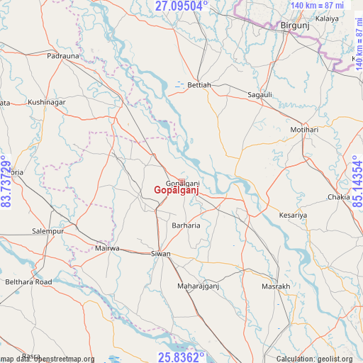
Gopālganj GPS coordinates[2]
26° 28' 2.424" North, 84° 26' 25.476" East
| Map corner | latitude | longitude |
|---|---|---|
| Upper-left | 27.09504°, | 83.73729° |
| Center: | 26.46734°, | 84.44041° |
| Lower-right: | 25.8362°, | 85.14354° |
| Map W x H: | 140×140 km | = 87×87mi |
| max Lat: | 34.9274° ⇑25.7% North |
| Gopālganj: | 26.46734° |
| min Lat: | ⇓74.3% South 8.09008° |
| min Long | Gopālganj | max Long |
| 68.82655° | 84.44041° | 96.81° |
| W 83%⇐ | ⇒17% E |
Elevation
Elevation of Gopālganj is 74 m = 243 ft, and this is 221.6 m = 727 ft below average elevation for this country.
| Max E: |
3681 m = 12077 ft | 73.8% |
| Avg. | 295.6 m = 970 ft | |
| Gopālganj | 74 m = 243 ft | |
Min E: |
1 m = 3 ft | 26.2% |
See also: Gopālganj elevation on elevation.city.
Geographical zone
Gopālganj is located in North temperate zone (between Tropic of Cancer and the Arctic Circle). Distance of this Northern Tropic circle is 337 km =209.4 mi to South.| Distance of | km | miles | from Gopālganj |
|---|---|---|---|
| North Pole | 7064.2 | 4389.5 | to North |
| Arctic Circle | 4458.3 | 2770.3 | to North |
| Tropic Cancer | 337 | 209.4 | to South |
| Equator | 2942.9 | 1828.6 | to South |


Nearby cities:
15 places around Gopālganj: (largest is in red/bold)
• Barauli
17.4 km =10.8 mi,  123°
123°
• Bettiah
37.8 km =23.5 mi,  9°
9°
• Bilthra
66.5 km =41.3 mi,  235°
235°
• Bānsdīh
68.6 km =42.6 mi,  198°
198°
• Chākia
60.6 km =37.7 mi,  95°
95°
• Deoria
65.9 km =40.9 mi,  273°
273°
• Lar
55.4 km =34.4 mi, 238°
• Mahārājgani
40.2 km =25 mi,  170°
170°
• Mairwa
38 km =23.6 mi,  226°
226°
• Maniar
59.9 km =37.2 mi,  206°
206°
• Mothīhāri
51.5 km =32 mi,  66°
66°
• Padrauna
66.6 km =41.4 mi,  316°
316°
• Sagauli
44.7 km =27.8 mi,  42°
42°
• Sikandarpur
61 km =37.9 mi,  219°
219°
• Siwān
28.7 km =17.8 mi, 197°
Sources, notices
• [Note1] Compared only with cities in India existing in our database
• [Src1] Map data: © OpenStreetMap contributors (CC-BY-SA)
• [Src2] Other city data from geonames.org with taken over terms of usage.
• [Src3] Geographical zone / Annual Mean Temperature by Robert A. Rohde @ Wikipedia
