Barwādih geodata
Barwādih (Jharkhand) is a populated place; located in India in Asia/Kolkata (GMT+5.5) time zone. With population of 7,401 people, there are 3180 cities with bigger population in this country. Compared to other cities in India, 57.3% of cities are located further ↓South; 82.2% of cities are located further ←West and 65.6% of cities have lower elevation than Barwādih. Note1


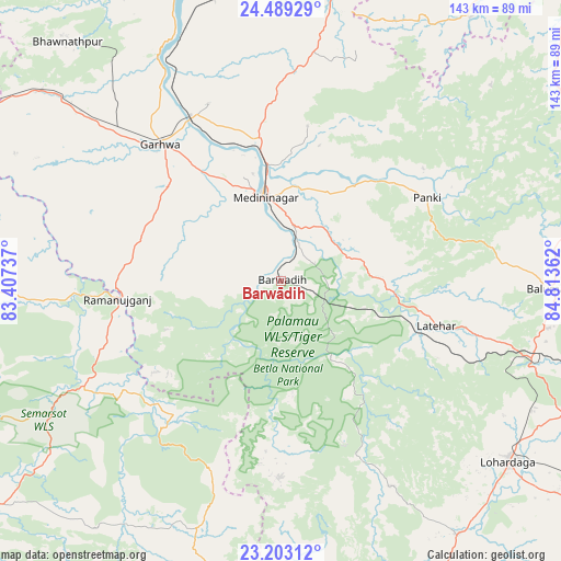
Barwādih GPS coordinates[2]
23° 50' 52.08" North, 84° 6' 37.764" East
| Map corner | latitude | longitude |
|---|---|---|
| Upper-left | 24.48929°, | 83.40737° |
| Center: | 23.8478°, | 84.11049° |
| Lower-right: | 23.20312°, | 84.81362° |
| Map W x H: | 143×143 km | = 88.9×88.9mi |
| max Lat: | 34.9274° ⇑42.7% North |
| Barwādih: | 23.8478° |
| min Lat: | ⇓57.3% South 8.09008° |
| min Long | Barwādih | max Long |
| 68.82655° | 84.11049° | 96.81° |
| W 82.2%⇐ | ⇒17.8% E |
Elevation
Elevation of Barwādih is 290 m = 951 ft, and this is 5.6 m = 18 ft below average elevation for this country.
| Max E: |
3681 m = 12077 ft | 34.4% |
| Avg. | 295.6 m = 970 ft | |
| Barwādih | 290 m = 951 ft | |
Min E: |
1 m = 3 ft | 65.6% |
See also: India elevation on elevation.city.
Geographical zone
Barwādih is located in North temperate zone (between Tropic of Cancer and the Arctic Circle). Distance of this Northern Tropic circle is 45.7 km =28.4 mi to South.| Distance of | km | miles | from Barwādih |
|---|---|---|---|
| North Pole | 7355.4 | 4570.4 | to North |
| Arctic Circle | 4749.5 | 2951.2 | to North |
| Tropic Cancer | 45.7 | 28.4 | to South |
| Equator | 2651.6 | 1647.6 | to South |


Nearby cities:
15 places around Barwādih: (largest is in red/bold)
• Aurangābād
104 km =64.6 mi,  14°
14°
• Balrampur
57.2 km =35.5 mi,  242°
242°
• Chatrā
86.9 km =54 mi,  62°
62°
• Daltonganj
21.8 km =13.5 mi,  347°
347°
• Dūdhi
97.2 km =60.4 mi,  294°
294°
• Garhwa
46.4 km =28.8 mi,  318°
318°
• Gumlā
99.9 km =62.1 mi,  153°
153°
• Husainābād
76.5 km =47.5 mi, 351°
• Lohārdagā
74.1 km =46 mi,  128°
128°
• Lātehār
41.3 km =25.7 mi,  106°
106°
• Nabīnagar
84.4 km =52.4 mi,  1°
1°
• Neturhāt
44.5 km =27.7 mi,  158°
158°
• Rāmānuj Ganj
42 km =26.1 mi,  263°
263°
• Rāy
97.8 km =60.8 mi,  100°
100°
• Sherghāti
105 km =65.2 mi,  41°
41°
Sources, notices
• [Note1] Compared only with cities in India existing in our database
• [Src1] Map data: © OpenStreetMap contributors (CC-BY-SA)
• [Src2] Other city data from geonames.org with taken over terms of usage.
• [Src3] Geographical zone / Annual Mean Temperature by Robert A. Rohde @ Wikipedia
