Yasuj geodata
Yasuj (Kohgiluyeh and Boyer-Ahmad) is a seat of a first-order administrative division; located in Iran in Asia/Tehran (GMT+3.5) time zone. With population of 96,786 people, there are 70 cities with bigger population in this country. Compared to other cities in Iran, 78.5% of cities are located further ↑North; 55.8% of cities are located further ←West and 89.1% of cities have lower elevation than Yasuj. Note1


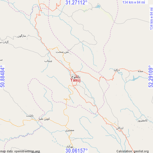
Yasuj GPS coordinates[2]
30° 40' 5.664" North, 51° 35' 16.656" East
| Map corner | latitude | longitude |
|---|---|---|
| Upper-left | 31.27112°, | 50.88484° |
| Center: | 30.66824°, | 51.58796° |
| Lower-right: | 30.06157°, | 52.29109° |
| Map W x H: | 134.5×134.5 km | = 83.6×83.6mi |
| max Lat: | 39.6482° ⇑78.5% North |
| Yasuj: | 30.66824° |
| min Lat: | ⇓21.5% South 25.2919° |
| min Long | Yasuj | max Long |
| 44.38416° | 51.58796° | 61.9965° |
| W 55.8%⇐ | ⇒44.2% E |
Elevation
Elevation of Yasuj is 1841 m = 6040 ft, and this is 792 m = 2598 ft above average elevation for this country.
| Max E: |
2564 m = 8412 ft | 10.9% |
| Yasuj | 1841 m 6040 ft | |
| Avg. | 1049 m = 3442 ft | |
Min E: |
-24 m = -79 ft | 89.1% |
See also: Yasuj elevation on elevation.city.
Geographical zone
Yasuj is located in North temperate zone (between Tropic of Cancer and the Arctic Circle). Distance of this Northern Tropic circle is 804.1 km =499.6 mi to South.| Distance of | km | miles | from Yasuj |
|---|---|---|---|
| North Pole | 6597.1 | 4099.2 | to North |
| Arctic Circle | 3991.2 | 2480 | to North |
| Tropic Cancer | 804.1 | 499.6 | to South |
| Equator | 3410 | 2118.9 | to South |


Nearby cities:
15 places around Yasuj: (largest is in red/bold)
• Behbahān
129.1 km =80.2 mi,  266°
266°
• Bāsht
53.6 km =33.3 mi,  230°
230°
• Dehdasht
98.8 km =61.4 mi,  278°
278°
• Dehāqān
141.5 km =87.9 mi,  2°
2°
• Dogonbadan
83.1 km =51.6 mi,  245°
245°
• Eqlīd
109 km =67.7 mi,  76°
76°
• Kāzerūn
116.8 km =72.6 mi,  176°
176°
• Lordegān
118.7 km =73.8 mi,  322°
322°
• Līkak
145 km =90.1 mi, 280°
• Maşīrī
47.4 km =29.5 mi,  187°
187°
• Nūrābād
61.9 km =38.5 mi, 185°
• Semīrom
83.2 km =51.7 mi,  358°
358°
• Sepīdān
59.1 km =36.7 mi,  140°
140°
• Sīsakht
25.2 km =15.7 mi,  329°
329°
• Ābādeh
115.2 km =71.6 mi,  61°
61°
Sources, notices
• [Note1] Compared only with cities in Iran existing in our database
• [Src1] Map data: © OpenStreetMap contributors (CC-BY-SA)
• [Src2] Other city data from geonames.org with taken over terms of usage.
• [Src3] Geographical zone / Annual Mean Temperature by Robert A. Rohde @ Wikipedia
