Sarbīsheh geodata
Sarbīsheh (Khorāsān-e Jonūbī) is a seat of a second-order administrative division; located in Iran in Asia/Tehran (GMT+3.5) time zone. In our database, there are 232 cities with bigger population. Compared to other cities in Iran, 64.6% of cities are located further ↑North; 95% of cities are located further ←West and 87.3% of cities have lower elevation than Sarbīsheh. Note1


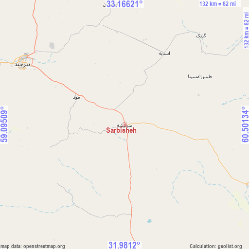
Sarbīsheh GPS coordinates[2]
32° 34' 32.376" North, 59° 47' 53.556" East
| Map corner | latitude | longitude |
|---|---|---|
| Upper-left | 33.16621°, | 59.09509° |
| Center: | 32.57566°, | 59.79821° |
| Lower-right: | 31.9812°, | 60.50134° |
| Map W x H: | 131.8×131.8 km | = 81.9×81.9mi |
| max Lat: | 39.6482° ⇑64.6% North |
| Sarbīsheh: | 32.57566° |
| min Lat: | ⇓35.4% South 25.2919° |
| min Long | Sarbīsheh | max Long |
| 44.38416° | 59.79821° | 61.9965° |
| W 95%⇐ | ⇒5% E |
Elevation
Elevation of Sarbīsheh is 1824 m = 5984 ft, and this is 775 m = 2543 ft above average elevation for this country.
| Max E: |
2564 m = 8412 ft | 12.7% |
| Sarbīsheh | 1824 m 5984 ft | |
| Avg. | 1049 m = 3442 ft | |
Min E: |
-24 m = -79 ft | 87.3% |
See also: Iran elevation on elevation.city.
Geographical zone
Sarbīsheh is located in North temperate zone (between Tropic of Cancer and the Arctic Circle). Distance of this Northern Tropic circle is 1016.2 km =631.4 mi to South.| Distance of | km | miles | from Sarbīsheh |
|---|---|---|---|
| North Pole | 6385 | 3967.5 | to North |
| Arctic Circle | 3779.1 | 2348.2 | to North |
| Tropic Cancer | 1016.2 | 631.4 | to South |
| Equator | 3622.1 | 2250.7 | to South |


Nearby cities:
15 places around Sarbīsheh: (largest is in red/bold)
• Asadīyeh
41.5 km =25.8 mi,  349°
349°
• Bajestān
262.5 km =163.1 mi,  325°
325°
• Boshrūyeh
263.1 km =163.5 mi,  303°
303°
• Bīrjand
62.9 km =39.1 mi, 300°
• Dūst Moḩammad Khān
246.5 km =153.2 mi,  130°
130°
• Ferdows
220.4 km =137 mi,  316°
316°
• Gonābād
223 km =138.6 mi, 332°
• Khvāf
224.7 km =139.6 mi,  8°
8°
• Nehbandān
117.1 km =72.8 mi,  168°
168°
• Qā’en
140.1 km =87.1 mi,  335°
335°
• Sarāyān
185.7 km =115.4 mi, 320°
• Tāybād
257.1 km =159.8 mi,  20°
20°
• Zehak
258.1 km =160.4 mi,  136°
136°
• Zābol
235 km =146 mi, 136°
• Ḩājjīābād
115.9 km =72 mi, 9°
Sources, notices
• [Note1] Compared only with cities in Iran existing in our database
• [Src1] Map data: © OpenStreetMap contributors (CC-BY-SA)
• [Src2] Other city data from geonames.org with taken over terms of usage.
• [Src3] Geographical zone / Annual Mean Temperature by Robert A. Rohde @ Wikipedia
