Narmāshīr geodata
Narmāshīr (Kerman) is a seat of a second-order administrative division; located in Iran in Asia/Tehran (GMT+3.5) time zone. In our database, there are 232 cities with bigger population. Compared to other cities in Iran, 88.4% of cities are located further ↑North; 90.9% of cities are located further ←West and 67.8% of cities have higher elevation than Narmāshīr. Note1


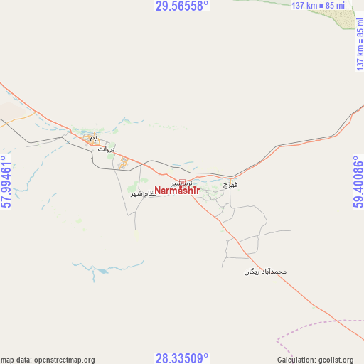
Narmāshīr GPS coordinates[2]
28° 57' 7.776" North, 58° 41' 51.828" East
| Map corner | latitude | longitude |
|---|---|---|
| Upper-left | 29.56558°, | 57.99461° |
| Center: | 28.95216°, | 58.69773° |
| Lower-right: | 28.33509°, | 59.40086° |
| Map W x H: | 136.8×136.8 km | = 85×85mi |
| max Lat: | 39.6482° ⇑88.4% North |
| Narmāshīr: | 28.95216° |
| min Lat: | ⇓11.6% South 25.2919° |
| min Long | Narmāshīr | max Long |
| 44.38416° | 58.69773° | 61.9965° |
| W 90.9%⇐ | ⇒9.1% E |
Elevation
Elevation of Narmāshīr is 759 m = 2490 ft, and this is 290 m = 951 ft below average elevation for this country.
| Max E: |
2564 m = 8412 ft | 67.8% |
| Avg. | 1049 m = 3442 ft | |
| Narmāshīr | 759 m = 2490 ft | |
Min E: |
-24 m = -79 ft | 32.2% |
See also: Iran elevation on elevation.city.
Geographical zone
Narmāshīr is located in North temperate zone (between Tropic of Cancer and the Arctic Circle). Distance of this Northern Tropic circle is 613.3 km =381.1 mi to South.| Distance of | km | miles | from Narmāshīr |
|---|---|---|---|
| North Pole | 6787.9 | 4217.8 | to North |
| Arctic Circle | 4182 | 2598.6 | to North |
| Tropic Cancer | 613.3 | 381.1 | to South |
| Equator | 3219.2 | 2000.3 | to South |


Nearby cities:
15 places around Narmāshīr: (largest is in red/bold)
• Bam
37.3 km =23.2 mi,  297°
297°
• Bāft
206 km =128 mi,  278°
278°
• Dalgān
179.1 km =111.3 mi,  155°
155°
• Eslāmābād
123.5 km =76.7 mi,  213°
213°
• Fahraj
18.2 km =11.3 mi,  90°
90°
• Fāryāb
171.8 km =106.8 mi,  236°
236°
• Jīroft
98.1 km =61 mi,  251°
251°
• Kahnūj
148 km =92 mi,  221°
221°
• Kūh Sefīd
187.7 km =116.6 mi, 281°
• Manūjān
208 km =129.2 mi, 214°
• Moḩammadābād
48.3 km =30 mi,  130°
130°
• Noşratābād
163.1 km =101.3 mi,  49°
49°
• Qal‘eh Ganj
177.8 km =110.5 mi, 206°
• Rābor
177.4 km =110.2 mi, 282°
• ‘Anbarābād
98.3 km =61.1 mi, 237°
Sources, notices
• [Note1] Compared only with cities in Iran existing in our database
• [Src1] Map data: © OpenStreetMap contributors (CC-BY-SA)
• [Src2] Other city data from geonames.org with taken over terms of usage.
• [Src3] Geographical zone / Annual Mean Temperature by Robert A. Rohde @ Wikipedia
