Bam geodata
Bam (Kerman) is a seat of a second-order administrative division; located in Iran in Asia/Tehran (GMT+3.5) time zone. With population of 99,268 people, there are 67 cities with bigger population in this country. Compared to other cities in Iran, 88% of cities are located further ↑North; 89.6% of cities are located further ←West and 55.3% of cities have higher elevation than Bam. Note1


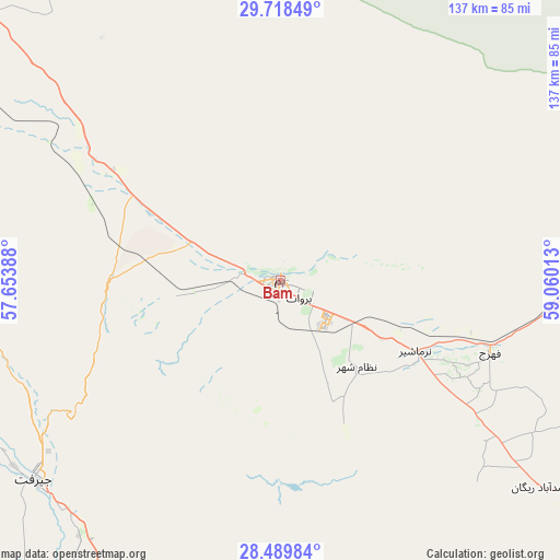
Bam GPS coordinates[2]
29° 6' 21.6" North, 58° 21' 25.2" East
| Map corner | latitude | longitude |
|---|---|---|
| Upper-left | 29.71849°, | 57.65388° |
| Center: | 29.106°, | 58.357° |
| Lower-right: | 28.48984°, | 59.06013° |
| Map W x H: | 136.6×136.6 km | = 84.9×84.9mi |
| max Lat: | 39.6482° ⇑88% North |
| Bam: | 29.106° |
| min Lat: | ⇓12% South 25.2919° |
| min Long | Bam | max Long |
| 44.38416° | 58.357° | 61.9965° |
| W 89.6%⇐ | ⇒10.4% E |
Elevation
Elevation of Bam is 1061 m = 3481 ft, and this is 12 m = 39 ft above average elevation for this country.
| Max E: |
2564 m = 8412 ft | 55.3% |
| Bam | 1061 m 3481 ft | |
| Avg. | 1049 m = 3442 ft | |
Min E: |
-24 m = -79 ft | 44.7% |
See also: Bam elevation on elevation.city.
Geographical zone
Bam is located in North temperate zone (between Tropic of Cancer and the Arctic Circle). Distance of this Northern Tropic circle is 630.4 km =391.7 mi to South.| Distance of | km | miles | from Bam |
|---|---|---|---|
| North Pole | 6770.8 | 4207.2 | to North |
| Arctic Circle | 4164.9 | 2587.9 | to North |
| Tropic Cancer | 630.4 | 391.7 | to South |
| Equator | 3236.3 | 2010.9 | to South |


Nearby cities:
15 places around Bam: (largest is in red/bold)
• Bardsīr
194.9 km =121.1 mi,  297°
297°
• Bāft
171 km =106.3 mi,  274°
274°
• Eslāmābād
125 km =77.7 mi,  196°
196°
• Fahraj
54.2 km =33.7 mi,  108°
108°
• Fāryāb
156.9 km =97.5 mi,  224°
224°
• Jīroft
76.6 km =47.6 mi,  231°
231°
• Kahnūj
143.5 km =89.2 mi,  206°
206°
• Kerman
179.9 km =111.8 mi,  316°
316°
• Kūh Sefīd
152.2 km =94.6 mi,  277°
277°
• Moḩammadābād
85 km =52.8 mi,  124°
124°
• Narmāshīr
37.3 km =23.2 mi, 117°
• Noşratābād
180.5 km =112.2 mi,  60°
60°
• Qal‘eh Ganj
182 km =113.1 mi,  194°
194°
• Rābor
141.7 km =88 mi, 278°
• ‘Anbarābād
85.8 km =53.3 mi, 215°
Sources, notices
• [Note1] Compared only with cities in Iran existing in our database
• [Src1] Map data: © OpenStreetMap contributors (CC-BY-SA)
• [Src2] Other city data from geonames.org with taken over terms of usage.
• [Src3] Geographical zone / Annual Mean Temperature by Robert A. Rohde @ Wikipedia
