Jīroft geodata
Jīroft (Kerman) is a seat of a second-order administrative division; located in Iran in Asia/Tehran (GMT+3.5) time zone. In our database, there are 232 cities with bigger population. Compared to other cities in Iran, 90% of cities are located further ↑North; 86.6% of cities are located further ←West and 69.6% of cities have higher elevation than Jīroft. Note1


Jīroft GPS coordinates[2]
28° 40' 41.016" North, 57° 44' 26.016" East
| Map corner | latitude | longitude |
|---|---|---|
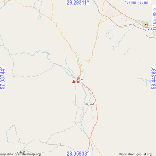
| Upper-left | 29.29311°, | 57.03744° |
| Center: | 28.67806°, | 57.74056° |
| Lower-right: | 28.05938°, | 58.44369° |
| Map W x H: | 137.2×137.2 km | = 85.3×85.3mi |
| max Lat: | 39.6482° ⇑90% North |
| Jīroft: | 28.67806° |
| min Lat: | ⇓10% South 25.2919° |
| min Long | Jīroft | max Long |
| 44.38416° | 57.74056° | 61.9965° |
| W 86.6%⇐ | ⇒13.4% E |
Elevation
Elevation of Jīroft is 680 m = 2231 ft, and this is 369 m = 1211 ft below average elevation for this country.
| Max E: |
2564 m = 8412 ft | 69.6% |
| Avg. | 1049 m = 3442 ft | |
| Jīroft | 680 m = 2231 ft | |
Min E: |
-24 m = -79 ft | 30.4% |
See also: Iran elevation on elevation.city.
Geographical zone
Jīroft is located in North temperate zone (between Tropic of Cancer and the Arctic Circle). Distance of this Northern Tropic circle is 582.8 km =362.1 mi to South.| Distance of | km | miles | from Jīroft |
|---|---|---|---|
| North Pole | 6818.4 | 4236.8 | to North |
| Arctic Circle | 4212.5 | 2617.5 | to North |
| Tropic Cancer | 582.8 | 362.1 | to South |
| Equator | 3188.7 | 1981.4 | to South |


Nearby cities:
15 places around Jīroft: (largest is in red/bold)
• Arzū’īyeh
136.1 km =84.6 mi,  258°
258°
• Bam
76.6 km =47.6 mi,  51°
51°
• Bāft
126.8 km =78.8 mi,  299°
299°
• Eslāmābād
76.8 km =47.7 mi,  160°
160°
• Fahraj
115.5 km =71.8 mi,  74°
74°
• Fāryāb
81.4 km =50.6 mi,  217°
217°
• Kahnūj
80.8 km =50.2 mi,  182°
182°
• Kūh Sefīd
113 km =70.2 mi,  306°
306°
• Manūjān
143.3 km =89 mi,  189°
189°
• Moḩammadābād
130 km =80.8 mi,  90°
90°
• Narmāshīr
98.1 km =61 mi, 71°
• Qal‘eh Ganj
129.1 km =80.2 mi,  173°
173°
• Rābor
105.5 km =65.6 mi, 310°
• Rūdān
147.6 km =91.7 mi,  201°
201°
• ‘Anbarābād
24.8 km =15.4 mi,  154°
154°
Sources, notices
• [Note1] Compared only with cities in Iran existing in our database
• [Src1] Map data: © OpenStreetMap contributors (CC-BY-SA)
• [Src2] Other city data from geonames.org with taken over terms of usage.
• [Src3] Geographical zone / Annual Mean Temperature by Robert A. Rohde @ Wikipedia
