Ḩājjīābād geodata
Ḩājjīābād (Fars) is a seat of a second-order administrative division; located in Iran in Asia/Tehran (GMT+3.5) time zone. In our database, there are 232 cities with bigger population. Compared to other cities in Iran, 91.6% of cities are located further ↑North; 74.6% of cities are located further ←West and 57.4% of cities have higher elevation than Ḩājjīābād. Note1


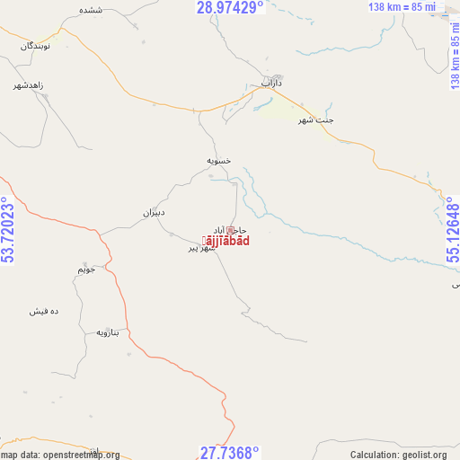
Ḩājjīābād GPS coordinates[2]
28° 21' 26.46" North, 54° 25' 24.06" East
| Map corner | latitude | longitude |
|---|---|---|
| Upper-left | 28.97429°, | 53.72023° |
| Center: | 28.35735°, | 54.42335° |
| Lower-right: | 27.7368°, | 55.12648° |
| Map W x H: | 137.6×137.6 km | = 85.5×85.5mi |
| max Lat: | 39.6482° ⇑91.6% North |
| Ḩājjīābād: | 28.35735° |
| min Lat: | ⇓8.4% South 25.2919° |
| min Long | Ḩājjīābād | max Long |
| 44.38416° | 54.42335° | 61.9965° |
| W 74.6%⇐ | ⇒25.4% E |
Elevation
Elevation of Ḩājjīābād is 1033 m = 3389 ft, and this is 16 m = 52 ft below average elevation for this country.
| Max E: |
2564 m = 8412 ft | 57.4% |
| Avg. | 1049 m = 3442 ft | |
| Ḩājjīābād | 1033 m = 3389 ft | |
Min E: |
-24 m = -79 ft | 42.6% |
See also: Iran elevation on elevation.city.
Geographical zone
Ḩājjīābād is located in North temperate zone (between Tropic of Cancer and the Arctic Circle). Distance of this Northern Tropic circle is 547.1 km =340 mi to South.| Distance of | km | miles | from Ḩājjīābād |
|---|---|---|---|
| North Pole | 6854 | 4258.9 | to North |
| Arctic Circle | 4248.1 | 2639.6 | to North |
| Tropic Cancer | 547.1 | 340 | to South |
| Equator | 3153 | 1959.2 | to South |


Nearby cities:
15 places around Ḩājjīābād: (largest is in red/bold)
• Bastak
128.9 km =80.1 mi,  182°
182°
• Dārāb
45.4 km =28.2 mi,  15°
15°
• Estahbān
93.3 km =58 mi,  336°
336°
• Fasā
99.5 km =61.8 mi,  310°
310°
• Gerāsh
81.5 km =50.6 mi,  200°
200°
• Jahrom
85.8 km =53.3 mi,  280°
280°
• Kherāmeh
166.8 km =103.6 mi,  319°
319°
• Khonj
110 km =68.4 mi,  241°
241°
• Lamerd
167.1 km =103.8 mi,  227°
227°
• Neyrīz
94 km =58.4 mi,  354°
354°
• Qīr
136.5 km =84.8 mi, 275°
• Sarvestān
155.3 km =96.5 mi, 310°
• Shahr-e Qadīm-e Lār
75.4 km =46.9 mi,  186°
186°
• Sirjan
172.6 km =107.2 mi,  45°
45°
• Ḩājjīābād
144.8 km =90 mi,  92°
92°
Sources, notices
• [Note1] Compared only with cities in Iran existing in our database
• [Src1] Map data: © OpenStreetMap contributors (CC-BY-SA)
• [Src2] Other city data from geonames.org with taken over terms of usage.
• [Src3] Geographical zone / Annual Mean Temperature by Robert A. Rohde @ Wikipedia
