Ol Kalou geodata
Ol Kalou (Nyandarua) is a seat of a first-order administrative division; located in Kenya in Africa/Nairobi (GMT+3) time zone. With population of 47,795 people, there are 14 cities with bigger population in this country. Compared to other cities in Kenya, 57% of cities are located further ↓South; 53.5% of cities are located further →East and 98.2% of cities have lower elevation than Ol Kalou. Note1


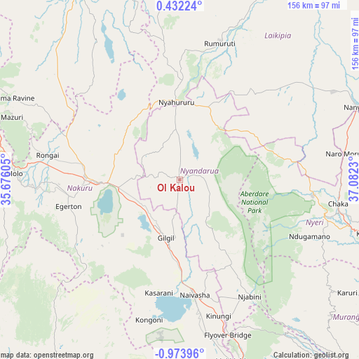
Ol Kalou GPS coordinates[2]
0° 16' 15.168" South, 36° 22' 45.012" East
| Map corner | latitude | longitude |
|---|---|---|
| Upper-left | 0.43224°, | 35.67605° |
| Center: | -0.27088°, | 36.37917° |
| Lower-right: | -0.97396°, | 37.0823° |
| Map W x H: | 156.4×156.4 km | = 97.2×97.2mi |
| max Lat: | 3.93726° ⇑43% North |
| Ol Kalou: | -0.27088° |
| min Lat: | ⇓57% South -4.64756° |
| min Long | Ol Kalou | max Long |
| 33.97248° | 36.37917° | 41.85688° |
| W 46.5%⇐ | ⇒53.5% E |
Elevation
Elevation of Ol Kalou is 2348 m = 7703 ft, and this is 1001.3 m = 3285 ft above average elevation for this country.
| Max E: |
2514 m = 8248 ft | 1.8% |
| Ol Kalou | 2348 m 7703 ft | |
| Avg. | 1346.7 m = 4418 ft | |
Min E: |
7 m = 23 ft | 98.2% |
See also: Ol Kalou elevation on elevation.city.
Geographical zone
Ol Kalou is located in South Torrid zone (between Equator and Tropic of Capricorn). Distance of Equator is 30.1 km =18.7 mi to North.| Distance of | km | miles | from Ol Kalou |
|---|---|---|---|
| Equator | 30.1 | 18.7 | to North |
| Tropic Capricorn | 2575.8 | 1600.5 | to South |
| Antarctic Circle | 7371.1 | 4580.2 | to South |
| South Pole | 9976.9 | 6199.4 | to South |


Nearby cities:
15 places around Ol Kalou: (largest is in red/bold)
• Baringo
94 km =58.4 mi,  330°
330°
• Eldama Ravine
80.9 km =50.3 mi,  296°
296°
• Kangema
79.8 km =49.6 mi,  125°
125°
• Kijabe
76.7 km =47.7 mi,  163°
163°
• Londiani
88.1 km =54.7 mi,  277°
277°
• Molo
72 km =44.7 mi,  271°
271°
• Naivasha
49.6 km =30.8 mi,  173°
173°
• Nakuru
34.4 km =21.4 mi,  263°
263°
• Nanyuki
83.2 km =51.7 mi,  68°
68°
• Naro Moru
72 km =44.7 mi,  80°
80°
• Nyahururu
34.4 km =21.4 mi,  357°
357°
• Nyeri
65.3 km =40.6 mi,  104°
104°
• Othaya
68.7 km =42.7 mi,  116°
116°
• Rongai
58.4 km =36.3 mi, 280°
• Rumuruti
62.9 km =39.1 mi,  16°
16°
Sources, notices
• [Note1] Compared only with cities in Kenya existing in our database
• [Src1] Map data: © OpenStreetMap contributors (CC-BY-SA)
• [Src2] Other city data from geonames.org with taken over terms of usage.
• [Src3] Geographical zone / Annual Mean Temperature by Robert A. Rohde @ Wikipedia
