At-Bashi geodata
At-Bashi (Naryn) is a seat of a second-order administrative division; located in Kyrgyzstan in Asia/Bishkek (GMT+6) time zone. With population of 15,226 people, there are 20 cities with bigger population in this country. Compared to other cities in Kyrgyzstan, 54.8% of cities are located further ↓South; 88.1% of cities are located further ←West and 95.2% of cities have lower elevation than At-Bashi. Note1


At-Bashi GPS coordinates[2]
41° 10' 10.236" North, 75° 48' 3.564" East
| Map corner | latitude | longitude |
|---|---|---|
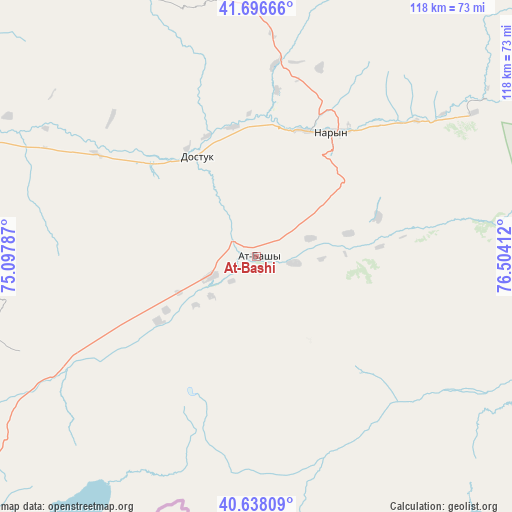
| Upper-left | 41.69666°, | 75.09787° |
| Center: | 41.16951°, | 75.80099° |
| Lower-right: | 40.63809°, | 76.50412° |
| Map W x H: | 117.7×117.7 km | = 73.1×73.1mi |
| max Lat: | 42.89106° ⇑45.2% North |
| At-Bashi: | 41.16951° |
| min Lat: | ⇓54.8% South 39.55274° |
| min Long | At-Bashi | max Long |
| 69.3716° | 75.80099° | 78.52702° |
| W 88.1%⇐ | ⇒11.9% E |
Elevation
Elevation of At-Bashi is 2047 m = 6716 ft, and this is 845.6 m = 2774 ft above average elevation for this country.
| Max E: |
2638 m = 8655 ft | 4.8% |
| At-Bashi | 2047 m 6716 ft | |
| Avg. | 1201.4 m = 3942 ft | |
Min E: |
504 m = 1654 ft | 95.2% |
See also: Kyrgyzstan elevation on elevation.city.
Geographical zone
At-Bashi is located in North temperate zone (between Tropic of Cancer and the Arctic Circle). Distance of this Northern Tropic circle is 1971.7 km =1225.2 mi to South.| Distance of | km | miles | from At-Bashi |
|---|---|---|---|
| North Pole | 5429.4 | 3373.7 | to North |
| Arctic Circle | 2823.6 | 1754.5 | to North |
| Tropic Cancer | 1971.7 | 1225.2 | to South |
| Equator | 4577.6 | 2844.4 | to South |


Nearby cities:
15 places around At-Bashi: (largest is in red/bold)
• Baetovo
71.4 km =44.4 mi,  278°
278°
• Balykchy
147 km =91.3 mi,  12°
12°
• Bokombayevskoye
144.7 km =89.9 mi,  43°
43°
• Chayek
136.1 km =84.6 mi,  308°
308°
• Cholpon-Ata
195.7 km =121.6 mi,  32°
32°
• Chuy
188.4 km =117.1 mi,  346°
346°
• Ivanovka
200 km =124.3 mi,  342°
342°
• Kadzhi-Say
157.4 km =97.8 mi,  46°
46°
• Kara-Kulja
195 km =121.2 mi,  252°
252°
• Kazarman
150.4 km =93.5 mi, 280°
• Kemin
180 km =111.8 mi,  357°
357°
• Kochkor
116.4 km =72.3 mi, 358°
• Naryn
32.9 km =20.4 mi, 28°
• Tokmok
190.5 km =118.4 mi, 347°
• Tossor
175.8 km =109.2 mi, 50°
Sources, notices
• [Note1] Compared only with cities in Kyrgyzstan existing in our database
• [Src1] Map data: © OpenStreetMap contributors (CC-BY-SA)
• [Src2] Other city data from geonames.org with taken over terms of usage.
• [Src3] Geographical zone / Annual Mean Temperature by Robert A. Rohde @ Wikipedia
