Tossor geodata
Tossor (Issyk-Kul) is a populated place; located in Kyrgyzstan in Asia/Bishkek (GMT+6) time zone. With population of 900 people, there are 36 cities with bigger population in this country. Compared to other cities in Kyrgyzstan, 70.2% of cities are located further ↓South; 95.2% of cities are located further ←West and 77.4% of cities have lower elevation than Tossor. Note1


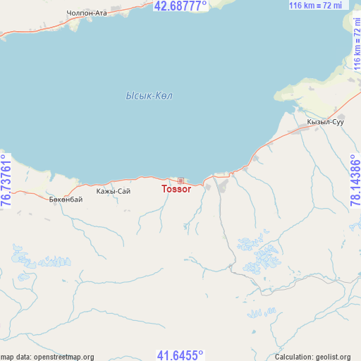
Tossor GPS coordinates[2]
42° 10' 7.608" North, 77° 26' 26.628" East
| Map corner | latitude | longitude |
|---|---|---|
| Upper-left | 42.68777°, | 76.73761° |
| Center: | 42.16878°, | 77.44073° |
| Lower-right: | 41.6455°, | 78.14386° |
| Map W x H: | 115.9×115.9 km | = 72×72mi |
| max Lat: | 42.89106° ⇑29.8% North |
| Tossor: | 42.16878° |
| min Lat: | ⇓70.2% South 39.55274° |
| min Long | Tossor | max Long |
| 69.3716° | 77.44073° | 78.52702° |
| W 95.2%⇐ | ⇒4.8% E |
Elevation
Elevation of Tossor is 1622 m = 5322 ft, and this is 420.6 m = 1380 ft above average elevation for this country.
| Max E: |
2638 m = 8655 ft | 22.6% |
| Tossor | 1622 m 5322 ft | |
| Avg. | 1201.4 m = 3942 ft | |
Min E: |
504 m = 1654 ft | 77.4% |
See also: Kyrgyzstan elevation on elevation.city.
Geographical zone
Tossor is located in North temperate zone (between Tropic of Cancer and the Arctic Circle). Distance of this Northern Tropic circle is 2082.8 km =1294.2 mi to South.| Distance of | km | miles | from Tossor |
|---|---|---|---|
| North Pole | 5318.3 | 3304.6 | to North |
| Arctic Circle | 2712.4 | 1685.4 | to North |
| Tropic Cancer | 2082.8 | 1294.2 | to South |
| Equator | 4688.7 | 2913.4 | to South |


Nearby cities:
15 places around Tossor: (largest is in red/bold)
• Ak-Suu
96.6 km =60 mi,  67°
67°
• At-Bashi
175.8 km =109.2 mi,  230°
230°
• Balykchy
108 km =67.1 mi,  287°
287°
• Bokombayevskoye
37.3 km =23.2 mi,  261°
261°
• Cholpon-Ata
61 km =37.9 mi,  331°
331°
• Chuy
191.2 km =118.8 mi, 292°
• Ivanovka
208.9 km =129.8 mi, 292°
• Kadzhi-Say
21.8 km =13.5 mi, 261°
• Karakol
86.1 km =53.5 mi, 65°
• Kemin
159 km =98.8 mi,  295°
295°
• Kochkor
138.8 km =86.2 mi,  272°
272°
• Kyzyl-Suu
50.4 km =31.3 mi, 67°
• Naryn
145.6 km =90.5 mi,  235°
235°
• Tokmok
190.7 km =118.5 mi, 293°
• Tyup
98 km =60.9 mi,  50°
50°
Sources, notices
• [Note1] Compared only with cities in Kyrgyzstan existing in our database
• [Src1] Map data: © OpenStreetMap contributors (CC-BY-SA)
• [Src2] Other city data from geonames.org with taken over terms of usage.
• [Src3] Geographical zone / Annual Mean Temperature by Robert A. Rohde @ Wikipedia
