Taūshyq geodata
Taūshyq (Mangghystaū) is a populated place; located in Kazakhstan in Asia/Aqtau (GMT+5) time zone. With population of 2,600 people, there are 236 cities with bigger population in this country. Compared to other cities in Kazakhstan, 77.4% of cities are located further ↑North; 94.4% of cities are located further →East and 87% of cities have higher elevation than Taūshyq. Note1


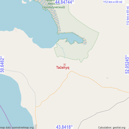
Taūshyq GPS coordinates[2]
44° 20' 48.408" North, 51° 20' 57.552" East
| Map corner | latitude | longitude |
|---|---|---|
| Upper-left | 44.84744°, | 50.6462° |
| Center: | 44.34678°, | 51.34932° |
| Lower-right: | 43.8418°, | 52.05245° |
| Map W x H: | 111.8×111.8 km | = 69.5×69.5mi |
| max Lat: | 54.90596° ⇑77.4% North |
| Taūshyq: | 44.34678° |
| min Lat: | ⇓22.6% South 40.66338° |
| min Long | Taūshyq | max Long |
| 46.83361° | 51.34932° | 84.87144° |
| W 5.6%⇐ | ⇒94.4% E |
Elevation
Elevation of Taūshyq is 70 m = 230 ft, and this is 286.5 m = 940 ft below average elevation for this country.
| Max E: |
1847 m = 6060 ft | 87% |
| Avg. | 356.5 m = 1170 ft | |
| Taūshyq | 70 m = 230 ft | |
Min E: |
-26 m = -85 ft | 13% |
See also: Kazakhstan elevation on elevation.city.
Geographical zone
Taūshyq is located in North temperate zone (between Tropic of Cancer and the Arctic Circle). Distance of this Northern Tropic circle is 2325 km =1444.7 mi to South.| Distance of | km | miles | from Taūshyq |
|---|---|---|---|
| North Pole | 5076.2 | 3154.2 | to North |
| Arctic Circle | 2470.3 | 1535 | to North |
| Tropic Cancer | 2325 | 1444.7 | to South |
| Equator | 4930.9 | 3063.9 | to South |


Nearby cities:
15 places around Taūshyq: (largest is in red/bold)
• Aktau
78.8 km =49 mi,  190°
190°
• Atyrau
310.8 km =193.1 mi,  7°
7°
• Balykshi
305.1 km =189.6 mi, 7°
• Baūtīno
90.3 km =56.1 mi,  284°
284°
• Beyneu
322.2 km =200.2 mi,  70°
70°
• Fort-Shevchenko
88 km =54.7 mi, 281°
• Maloye Ganyushkino
298.5 km =185.5 mi,  327°
327°
• Munayshy
112.9 km =70.2 mi,  147°
147°
• Qaraton
285.9 km =177.7 mi,  35°
35°
• Sayötesh
173.6 km =107.9 mi,  90°
90°
• Shetpe
64.3 km =40 mi,  108°
108°
• Yeraliyev
132.4 km =82.3 mi,  168°
168°
• Zhanaozen
165 km =102.5 mi,  132°
132°
• Zhetibay
102 km =63.4 mi, 145°
• Ömirzaq
83.7 km =52 mi, 185°
Sources, notices
• [Note1] Compared only with cities in Kazakhstan existing in our database
• [Src1] Map data: © OpenStreetMap contributors (CC-BY-SA)
• [Src2] Other city data from geonames.org with taken over terms of usage.
• [Src3] Geographical zone / Annual Mean Temperature by Robert A. Rohde @ Wikipedia
