Zhezkent geodata
Zhezkent (East Kazakhstan) is a populated place; located in Kazakhstan in Asia/Almaty (GMT+5) time zone. With population of 8,896 people, there are 134 cities with bigger population in this country. Compared to other cities in Kazakhstan, 73.7% of cities are located further ↓South; 91.1% of cities are located further ←West and 54.4% of cities have higher elevation than Zhezkent. Note1


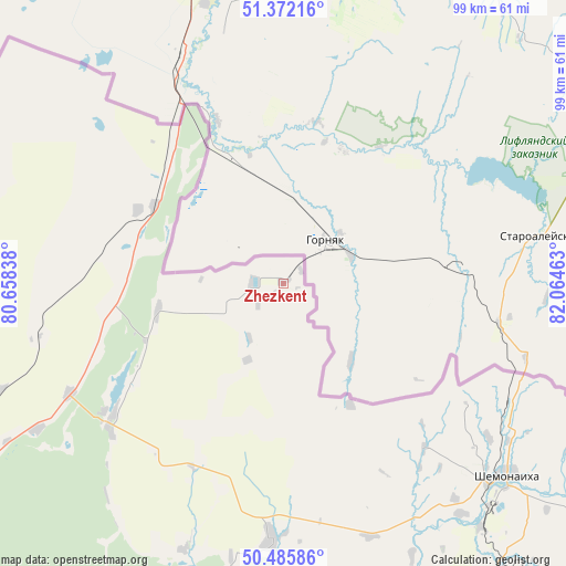
Zhezkent GPS coordinates[2]
50° 55' 52.032" North, 81° 21' 41.4" East
| Map corner | latitude | longitude |
|---|---|---|
| Upper-left | 51.37216°, | 80.65838° |
| Center: | 50.93112°, | 81.3615° |
| Lower-right: | 50.48586°, | 82.06463° |
| Map W x H: | 98.5×98.5 km | = 61.2×61.2mi |
| max Lat: | 54.90596° ⇑26.3% North |
| Zhezkent: | 50.93112° |
| min Lat: | ⇓73.7% South 40.66338° |
| min Long | Zhezkent | max Long |
| 46.83361° | 81.3615° | 84.87144° |
| W 91.1%⇐ | ⇒8.9% E |
Elevation
Elevation of Zhezkent is 283 m = 928 ft, and this is 73.5 m = 241 ft below average elevation for this country.
| Max E: |
1847 m = 6060 ft | 54.4% |
| Avg. | 356.5 m = 1170 ft | |
| Zhezkent | 283 m = 928 ft | |
Min E: |
-26 m = -85 ft | 45.6% |
See also: Kazakhstan elevation on elevation.city.
Geographical zone
Zhezkent is located in North temperate zone (between Tropic of Cancer and the Arctic Circle). Distance of this North polar circle is 1738.2 km =1080.1 mi to North.| Distance of | km | miles | from Zhezkent |
|---|---|---|---|
| North Pole | 4344.1 | 2699.3 | to North |
| Arctic Circle | 1738.2 | 1080.1 | to North |
| Tropic Cancer | 3057.1 | 1899.6 | to South |
| Equator | 5663 | 3518.8 | to South |


Nearby cities:
15 places around Zhezkent: (largest is in red/bold)
• Altayskiy
103.9 km =64.6 mi,  137°
137°
• Auezov
136.7 km =84.9 mi,  173°
173°
• Belousovka
121 km =75.2 mi, 137°
• Borodulikha
38.5 km =23.9 mi,  232°
232°
• Georgīevka
179 km =111.2 mi,  175°
175°
• Glubokoye
110.7 km =68.8 mi, 142°
• Ognevka
181.8 km =113 mi, 139°
• Ridder
165.1 km =102.6 mi,  113°
113°
• Semey
95.4 km =59.3 mi, 233°
• Shar
151.1 km =93.9 mi,  188°
188°
• Shemonaīkha
51.3 km =31.9 mi,  131°
131°
• Suykbulak
137.8 km =85.6 mi, 189°
• Ust-Kamenogorsk
138.4 km =86 mi, 140°
• Zhalghyztobe
191.5 km =119 mi, 183°
• Ūst’-Talovka
54.6 km =33.9 mi, 141°
Sources, notices
• [Note1] Compared only with cities in Kazakhstan existing in our database
• [Src1] Map data: © OpenStreetMap contributors (CC-BY-SA)
• [Src2] Other city data from geonames.org with taken over terms of usage.
• [Src3] Geographical zone / Annual Mean Temperature by Robert A. Rohde @ Wikipedia
