Borodulikha geodata
Borodulikha (East Kazakhstan) is a populated place; located in Kazakhstan in Asia/Almaty (GMT+5) time zone. With population of 5,931 people, there are 175 cities with bigger population in this country. Compared to other cities in Kazakhstan, 72.2% of cities are located further ↓South; 89.6% of cities are located further ←West and 50.7% of cities have higher elevation than Borodulikha. Note1


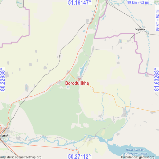
Borodulikha GPS coordinates[2]
50° 43' 6.276" North, 80° 55' 46.2" East
| Map corner | latitude | longitude |
|---|---|---|
| Upper-left | 51.16147°, | 80.22638° |
| Center: | 50.71841°, | 80.9295° |
| Lower-right: | 50.27112°, | 81.63263° |
| Map W x H: | 99×99 km | = 61.5×61.5mi |
| max Lat: | 54.90596° ⇑27.8% North |
| Borodulikha: | 50.71841° |
| min Lat: | ⇓72.2% South 40.66338° |
| min Long | Borodulikha | max Long |
| 46.83361° | 80.9295° | 84.87144° |
| W 89.6%⇐ | ⇒10.4% E |
Elevation
Elevation of Borodulikha is 316 m = 1037 ft, and this is 40.5 m = 133 ft below average elevation for this country.
| Max E: |
1847 m = 6060 ft | 50.7% |
| Avg. | 356.5 m = 1170 ft | |
| Borodulikha | 316 m = 1037 ft | |
Min E: |
-26 m = -85 ft | 49.3% |
See also: Kazakhstan elevation on elevation.city.
Geographical zone
Borodulikha is located in North temperate zone (between Tropic of Cancer and the Arctic Circle). Distance of this North polar circle is 1761.8 km =1094.7 mi to North.| Distance of | km | miles | from Borodulikha |
|---|---|---|---|
| North Pole | 4367.7 | 2714 | to North |
| Arctic Circle | 1761.8 | 1094.7 | to North |
| Tropic Cancer | 3033.4 | 1884.9 | to South |
| Equator | 5639.4 | 3504.2 | to South |


Nearby cities:
15 places around Borodulikha: (largest is in red/bold)
• Altayskiy
114.2 km =71 mi,  117°
117°
• Auezov
121.3 km =75.4 mi,  157°
157°
• Belousovka
130.4 km =81 mi, 119°
• Georgīevka
161.4 km =100.3 mi, 163°
• Glubokoye
117.2 km =72.8 mi, 123°
• Kurchatov
168.1 km =104.5 mi,  271°
271°
• Ridder
187.3 km =116.4 mi,  102°
102°
• Semey
56.9 km =35.4 mi,  235°
235°
• Shar
126.1 km =78.4 mi,  176°
176°
• Shemonaīkha
70 km =43.5 mi, 98°
• Suykbulak
112.6 km =70 mi, 175°
• Ust-Kamenogorsk
145.1 km =90.2 mi, 124°
• Zhalghyztobe
168.9 km =104.9 mi,  173°
173°
• Zhezkent
38.5 km =23.9 mi,  52°
52°
• Ūst’-Talovka
67.6 km =42 mi,  106°
106°
Sources, notices
• [Note1] Compared only with cities in Kazakhstan existing in our database
• [Src1] Map data: © OpenStreetMap contributors (CC-BY-SA)
• [Src2] Other city data from geonames.org with taken over terms of usage.
• [Src3] Geographical zone / Annual Mean Temperature by Robert A. Rohde @ Wikipedia
