Karatau geodata
Karatau (Zhambyl) is a populated place; located in Kazakhstan in Asia/Almaty (GMT+5) time zone. With population of 37,881 people, there are 41 cities with bigger population in this country. Compared to other cities in Kazakhstan, 88.9% of cities are located further ↑North; 51.5% of cities are located further ←West and 77.8% of cities have lower elevation than Karatau. Note1


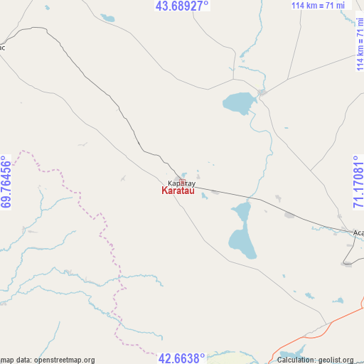
Karatau GPS coordinates[2]
43° 10' 43.284" North, 70° 28' 3.648" East
| Map corner | latitude | longitude |
|---|---|---|
| Upper-left | 43.68927°, | 69.76456° |
| Center: | 43.17869°, | 70.46768° |
| Lower-right: | 42.6638°, | 71.17081° |
| Map W x H: | 114×114 km | = 70.8×70.8mi |
| max Lat: | 54.90596° ⇑88.9% North |
| Karatau: | 43.17869° |
| min Lat: | ⇓11.1% South 40.66338° |
| min Long | Karatau | max Long |
| 46.83361° | 70.46768° | 84.87144° |
| W 51.5%⇐ | ⇒48.5% E |
Elevation
Elevation of Karatau is 521 m = 1709 ft, and this is 164.5 m = 540 ft above average elevation for this country.
| Max E: |
1847 m = 6060 ft | 22.2% |
| Karatau | 521 m 1709 ft | |
| Avg. | 356.5 m = 1170 ft | |
Min E: |
-26 m = -85 ft | 77.8% |
See also: Kazakhstan elevation on elevation.city.
Geographical zone
Karatau is located in North temperate zone (between Tropic of Cancer and the Arctic Circle). Distance of this Northern Tropic circle is 2195.1 km =1364 mi to South.| Distance of | km | miles | from Karatau |
|---|---|---|---|
| North Pole | 5206 | 3234.9 | to North |
| Arctic Circle | 2600.2 | 1615.7 | to North |
| Tropic Cancer | 2195.1 | 1364 | to South |
| Equator | 4801 | 2983.2 | to South |


Nearby cities:
15 places around Karatau: (largest is in red/bold)
• Bayzhansay
44.9 km =27.9 mi,  268°
268°
• Belyye Vody
99.1 km =61.6 mi,  211°
211°
• Chayan
89.7 km =55.7 mi,  259°
259°
• Kokterek
78 km =48.5 mi,  192°
192°
• Lenger
120.6 km =74.9 mi,  203°
203°
• Sarykemer
86.1 km =53.5 mi,  103°
103°
• Sastobe
79.4 km =49.3 mi, 208°
• Sayram
113.4 km =70.5 mi, 210°
• Shymkent
120.7 km =75 mi,  215°
215°
• Taraz
79.4 km =49.3 mi,  112°
112°
• Temirlanovka
117.7 km =73.1 mi,  236°
236°
• Turar Ryskulov
72.4 km =45 mi, 187°
• Tyul’kubas
78.3 km =48.7 mi, 190°
• Zhabagly
82.4 km =51.2 mi,  179°
179°
• Zhangatas
73 km =45.4 mi,  305°
305°
Sources, notices
• [Note1] Compared only with cities in Kazakhstan existing in our database
• [Src1] Map data: © OpenStreetMap contributors (CC-BY-SA)
• [Src2] Other city data from geonames.org with taken over terms of usage.
• [Src3] Geographical zone / Annual Mean Temperature by Robert A. Rohde @ Wikipedia
