Bayzhansay geodata
Bayzhansay (South Kazakhstan) is a populated place; located in Kazakhstan in Asia/Almaty (GMT+5) time zone. With population of 2,384 people, there are 240 cities with bigger population in this country. Compared to other cities in Kazakhstan, 89.3% of cities are located further ↑North; 52.2% of cities are located further →East and 96.3% of cities have lower elevation than Bayzhansay. Note1


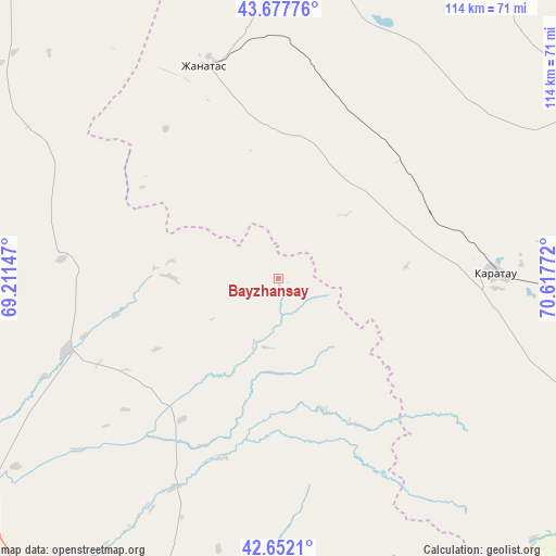
Bayzhansay GPS coordinates[2]
43° 10' 1.488" North, 69° 54' 52.524" East
| Map corner | latitude | longitude |
|---|---|---|
| Upper-left | 43.67776°, | 69.21147° |
| Center: | 43.16708°, | 69.91459° |
| Lower-right: | 42.6521°, | 70.61772° |
| Map W x H: | 114×114 km | = 70.8×70.8mi |
| max Lat: | 54.90596° ⇑89.3% North |
| Bayzhansay: | 43.16708° |
| min Lat: | ⇓10.7% South 40.66338° |
| min Long | Bayzhansay | max Long |
| 46.83361° | 69.91459° | 84.87144° |
| W 47.8%⇐ | ⇒52.2% E |
Elevation
Elevation of Bayzhansay is 870 m = 2854 ft, and this is 513.5 m = 1685 ft above average elevation for this country.
| Max E: |
1847 m = 6060 ft | 3.7% |
| Bayzhansay | 870 m 2854 ft | |
| Avg. | 356.5 m = 1170 ft | |
Min E: |
-26 m = -85 ft | 96.3% |
See also: Kazakhstan elevation on elevation.city.
Geographical zone
Bayzhansay is located in North temperate zone (between Tropic of Cancer and the Arctic Circle). Distance of this Northern Tropic circle is 2193.8 km =1363.2 mi to South.| Distance of | km | miles | from Bayzhansay |
|---|---|---|---|
| North Pole | 5207.3 | 3235.7 | to North |
| Arctic Circle | 2601.4 | 1616.4 | to North |
| Tropic Cancer | 2193.8 | 1363.2 | to South |
| Equator | 4799.7 | 2982.4 | to South |


Nearby cities:
15 places around Bayzhansay: (largest is in red/bold)
• Ashchysay
92.8 km =57.7 mi,  297°
297°
• Belyye Vody
83.2 km =51.7 mi,  184°
184°
• Chayan
45.8 km =28.5 mi,  251°
251°
• Chulakkurgan
89.1 km =55.4 mi,  318°
318°
• Karatau
44.9 km =27.9 mi,  88°
88°
• Kokterek
79.8 km =49.6 mi,  159°
159°
• Lenger
109.6 km =68.1 mi, 181°
• Sastobe
68.6 km =42.6 mi,  174°
174°
• Sayram
97 km =60.3 mi,  187°
187°
• Shymkent
99.8 km =62 mi, 194°
• Temirlanovka
82.7 km =51.4 mi,  220°
220°
• Turar Ryskulov
78.9 km =49 mi,  153°
153°
• Tyul’kubas
81.9 km =50.9 mi, 157°
• Zhabagly
93.2 km =57.9 mi, 150°
• Zhangatas
46.3 km =28.8 mi,  341°
341°
Sources, notices
• [Note1] Compared only with cities in Kazakhstan existing in our database
• [Src1] Map data: © OpenStreetMap contributors (CC-BY-SA)
• [Src2] Other city data from geonames.org with taken over terms of usage.
• [Src3] Geographical zone / Annual Mean Temperature by Robert A. Rohde @ Wikipedia
