Sarykemer geodata
Sarykemer (Zhambyl) is a populated place; located in Kazakhstan in Asia/Almaty (GMT+5) time zone. With population of 15,132 people, there are 77 cities with bigger population in this country. Compared to other cities in Kazakhstan, 90.7% of cities are located further ↑North; 54.8% of cities are located further ←West and 79.6% of cities have lower elevation than Sarykemer. Note1


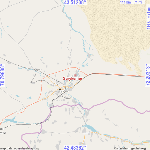
Sarykemer GPS coordinates[2]
43° 0' 0" North, 71° 30' 0" East
| Map corner | latitude | longitude |
|---|---|---|
| Upper-left | 43.51208°, | 70.79688° |
| Center: | 43°, | 71.5° |
| Lower-right: | 42.48362°, | 72.20313° |
| Map W x H: | 114.4×114.4 km | = 71.1×71.1mi |
| max Lat: | 54.90596° ⇑90.7% North |
| Sarykemer: | 43° |
| min Lat: | ⇓9.3% South 40.66338° |
| min Long | Sarykemer | max Long |
| 46.83361° | 71.5° | 84.87144° |
| W 54.8%⇐ | ⇒45.2% E |
Elevation
Elevation of Sarykemer is 552 m = 1811 ft, and this is 195.5 m = 641 ft above average elevation for this country.
| Max E: |
1847 m = 6060 ft | 20.4% |
| Sarykemer | 552 m 1811 ft | |
| Avg. | 356.5 m = 1170 ft | |
Min E: |
-26 m = -85 ft | 79.6% |
See also: Kazakhstan elevation on elevation.city.
Geographical zone
Sarykemer is located in North temperate zone (between Tropic of Cancer and the Arctic Circle). Distance of this Northern Tropic circle is 2175.2 km =1351.6 mi to South.| Distance of | km | miles | from Sarykemer |
|---|---|---|---|
| North Pole | 5225.9 | 3247.2 | to North |
| Arctic Circle | 2620 | 1628 | to North |
| Tropic Cancer | 2175.2 | 1351.6 | to South |
| Equator | 4781.2 | 2970.9 | to South |


Nearby cities:
15 places around Sarykemer: (largest is in red/bold)
• Bayzhansay
130.1 km =80.8 mi,  278°
278°
• Belyye Vody
151 km =93.8 mi,  244°
244°
• Karatau
86.1 km =53.5 mi, 283°
• Kokterek
116.2 km =72.2 mi, 241°
• Lenger
160.4 km =99.7 mi, 235°
• Lugovoy
102.8 km =63.9 mi,  93°
93°
• Lugovoye
99.8 km =62 mi,  95°
95°
• Merke
137.9 km =85.7 mi, 96°
• Oytal
144.4 km =89.7 mi, 94°
• Sastobe
132.2 km =82.1 mi,  247°
247°
• Taraz
15.5 km =9.6 mi,  224°
224°
• Turar Ryskulov
107.3 km =66.7 mi, 241°
• Tyul’kubas
113.7 km =70.6 mi, 239°
• Zhabagly
104.3 km =64.8 mi,  233°
233°
• Zhangatas
156 km =96.9 mi,  293°
293°
Sources, notices
• [Note1] Compared only with cities in Kazakhstan existing in our database
• [Src1] Map data: © OpenStreetMap contributors (CC-BY-SA)
• [Src2] Other city data from geonames.org with taken over terms of usage.
• [Src3] Geographical zone / Annual Mean Temperature by Robert A. Rohde @ Wikipedia
