Oytal geodata
Oytal (Zhambyl) is a populated place; located in Kazakhstan in Asia/Almaty (GMT+5) time zone. With population of 9,821 people, there are 118 cities with bigger population in this country. Compared to other cities in Kazakhstan, 91.9% of cities are located further ↑North; 66.7% of cities are located further ←West and 88.1% of cities have lower elevation than Oytal. Note1


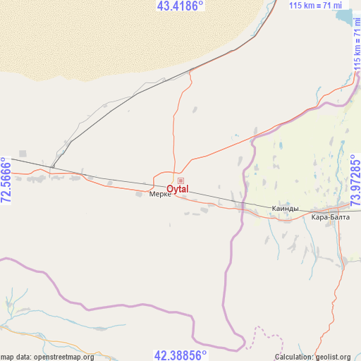
Oytal GPS coordinates[2]
42° 54' 20.628" North, 73° 16' 10.992" East
| Map corner | latitude | longitude |
|---|---|---|
| Upper-left | 43.4186°, | 72.5666° |
| Center: | 42.90573°, | 73.26972° |
| Lower-right: | 42.38856°, | 73.97285° |
| Map W x H: | 114.5×114.5 km | = 71.1×71.1mi |
| max Lat: | 54.90596° ⇑91.9% North |
| Oytal: | 42.90573° |
| min Lat: | ⇓8.1% South 40.66338° |
| min Long | Oytal | max Long |
| 46.83361° | 73.26972° | 84.87144° |
| W 66.7%⇐ | ⇒33.3% E |
Elevation
Elevation of Oytal is 675 m = 2215 ft, and this is 318.5 m = 1045 ft above average elevation for this country.
| Max E: |
1847 m = 6060 ft | 11.9% |
| Oytal | 675 m 2215 ft | |
| Avg. | 356.5 m = 1170 ft | |
Min E: |
-26 m = -85 ft | 88.1% |
See also: Kazakhstan elevation on elevation.city.
Geographical zone
Oytal is located in North temperate zone (between Tropic of Cancer and the Arctic Circle). Distance of this Northern Tropic circle is 2164.8 km =1345.1 mi to South.| Distance of | km | miles | from Oytal |
|---|---|---|---|
| North Pole | 5236.4 | 3253.7 | to North |
| Arctic Circle | 2630.5 | 1634.5 | to North |
| Tropic Cancer | 2164.8 | 1345.1 | to South |
| Equator | 4770.7 | 2964.4 | to South |


Nearby cities:
15 places around Oytal: (largest is in red/bold)
• Aqbaqay
236.1 km =146.7 mi,  350°
350°
• Chu
87.1 km =54.1 mi,  27°
27°
• Georgiyevka
118.3 km =73.5 mi,  82°
82°
• Granitogorsk
24.2 km =15 mi,  137°
137°
• Karatau
229.7 km =142.7 mi,  277°
277°
• Khantaū
152.9 km =95 mi,  16°
16°
• Lugovoy
41.6 km =25.8 mi, 275°
• Lugovoye
44.7 km =27.8 mi,  270°
270°
• Merke
8 km =5 mi,  240°
240°
• Moyynkum
155.6 km =96.7 mi, 350°
• Sarykemer
144.4 km =89.7 mi, 274°
• Taraz
155 km =96.3 mi, 269°
• Turar Ryskulov
242.1 km =150.4 mi,  260°
260°
• Tyul’kubas
247.4 km =153.7 mi, 259°
• Zhabagly
234 km =145.4 mi, 257°
Sources, notices
• [Note1] Compared only with cities in Kazakhstan existing in our database
• [Src1] Map data: © OpenStreetMap contributors (CC-BY-SA)
• [Src2] Other city data from geonames.org with taken over terms of usage.
• [Src3] Geographical zone / Annual Mean Temperature by Robert A. Rohde @ Wikipedia
