Lugovoye geodata
Lugovoye (Zhambyl) is a populated place; located in Kazakhstan in Asia/Almaty (GMT+5) time zone. With population of 13,128 people, there are 94 cities with bigger population in this country. Compared to other cities in Kazakhstan, 91.5% of cities are located further ↑North; 60.4% of cities are located further ←West and 90.7% of cities have lower elevation than Lugovoye. Note1


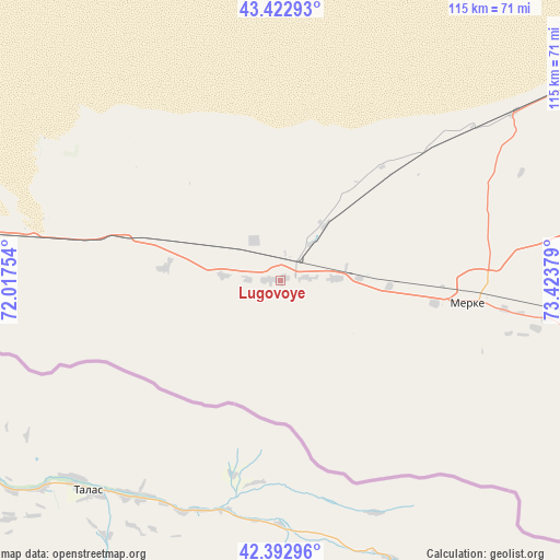
Lugovoye GPS coordinates[2]
42° 54' 36.36" North, 72° 43' 14.376" East
| Map corner | latitude | longitude |
|---|---|---|
| Upper-left | 43.42293°, | 72.01754° |
| Center: | 42.9101°, | 72.72066° |
| Lower-right: | 42.39296°, | 73.42379° |
| Map W x H: | 114.5×114.5 km | = 71.1×71.1mi |
| max Lat: | 54.90596° ⇑91.5% North |
| Lugovoye: | 42.9101° |
| min Lat: | ⇓8.5% South 40.66338° |
| min Long | Lugovoye | max Long |
| 46.83361° | 72.72066° | 84.87144° |
| W 60.4%⇐ | ⇒39.6% E |
Elevation
Elevation of Lugovoye is 712 m = 2336 ft, and this is 355.5 m = 1166 ft above average elevation for this country.
| Max E: |
1847 m = 6060 ft | 9.3% |
| Lugovoye | 712 m 2336 ft | |
| Avg. | 356.5 m = 1170 ft | |
Min E: |
-26 m = -85 ft | 90.7% |
See also: Kazakhstan elevation on elevation.city.
Geographical zone
Lugovoye is located in North temperate zone (between Tropic of Cancer and the Arctic Circle). Distance of this Northern Tropic circle is 2165.2 km =1345.4 mi to South.| Distance of | km | miles | from Lugovoye |
|---|---|---|---|
| North Pole | 5235.9 | 3253.4 | to North |
| Arctic Circle | 2630 | 1634.2 | to North |
| Tropic Cancer | 2165.2 | 1345.4 | to South |
| Equator | 4771.2 | 2964.7 | to South |


Nearby cities:
15 places around Lugovoye: (largest is in red/bold)
• Chu
114.1 km =70.9 mi,  47°
47°
• Georgiyevka
162.7 km =101.1 mi,  84°
84°
• Granitogorsk
63.7 km =39.6 mi,  106°
106°
• Karatau
185.5 km =115.3 mi,  279°
279°
• Khantaū
170.2 km =105.8 mi,  30°
30°
• Kokterek
206.7 km =128.4 mi,  257°
257°
• Lugovoy
4.8 km =3 mi,  42°
42°
• Merke
38.1 km =23.7 mi,  96°
96°
• Moyynkum
153.8 km =95.6 mi,  6°
6°
• Oytal
44.7 km =27.8 mi,  90°
90°
• Sarykemer
99.8 km =62 mi, 275°
• Taraz
110.3 km =68.5 mi,  269°
269°
• Turar Ryskulov
198.2 km =123.2 mi, 257°
• Tyul’kubas
203.7 km =126.6 mi, 256°
• Zhabagly
190.7 km =118.5 mi,  254°
254°
Sources, notices
• [Note1] Compared only with cities in Kazakhstan existing in our database
• [Src1] Map data: © OpenStreetMap contributors (CC-BY-SA)
• [Src2] Other city data from geonames.org with taken over terms of usage.
• [Src3] Geographical zone / Annual Mean Temperature by Robert A. Rohde @ Wikipedia
