Khantaū geodata
Khantaū (Zhambyl) is a populated place; located in Kazakhstan in Asia/Almaty (GMT+5) time zone. With population of 1,403 people, there are 255 cities with bigger population in this country. Compared to other cities in Kazakhstan, 78.5% of cities are located further ↑North; 70.7% of cities are located further ←West and 79.3% of cities have lower elevation than Khantaū. Note1


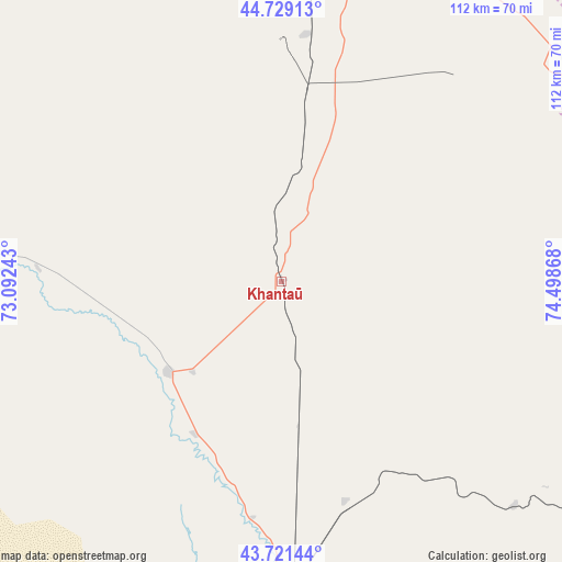
Khantaū GPS coordinates[2]
44° 13' 38.784" North, 73° 47' 43.98" East
| Map corner | latitude | longitude |
|---|---|---|
| Upper-left | 44.72913°, | 73.09243° |
| Center: | 44.22744°, | 73.79555° |
| Lower-right: | 43.72144°, | 74.49868° |
| Map W x H: | 112×112 km | = 69.6×69.6mi |
| max Lat: | 54.90596° ⇑78.5% North |
| Khantaū: | 44.22744° |
| min Lat: | ⇓21.5% South 40.66338° |
| min Long | Khantaū | max Long |
| 46.83361° | 73.79555° | 84.87144° |
| W 70.7%⇐ | ⇒29.3% E |
Elevation
Elevation of Khantaū is 548 m = 1798 ft, and this is 191.5 m = 628 ft above average elevation for this country.
| Max E: |
1847 m = 6060 ft | 20.7% |
| Khantaū | 548 m 1798 ft | |
| Avg. | 356.5 m = 1170 ft | |
Min E: |
-26 m = -85 ft | 79.3% |
See also: Kazakhstan elevation on elevation.city.
Geographical zone
Khantaū is located in North temperate zone (between Tropic of Cancer and the Arctic Circle). Distance of this Northern Tropic circle is 2311.7 km =1436.4 mi to South.| Distance of | km | miles | from Khantaū |
|---|---|---|---|
| North Pole | 5089.4 | 3162.4 | to North |
| Arctic Circle | 2483.5 | 1543.2 | to North |
| Tropic Cancer | 2311.7 | 1436.4 | to South |
| Equator | 4917.6 | 3055.7 | to South |


Nearby cities:
15 places around Khantaū: (largest is in red/bold)
• Aqbaqay
117.5 km =73 mi,  316°
316°
• Bakanas
206.7 km =128.4 mi,  71°
71°
• Chu
69.5 km =43.2 mi,  182°
182°
• Georgiyevka
151.4 km =94.1 mi,  150°
150°
• Granitogorsk
167 km =103.8 mi,  189°
189°
• Lugovoy
165.4 km =102.8 mi,  210°
210°
• Lugovoye
170.2 km =105.8 mi, 210°
• Merke
158.8 km =98.7 mi,  198°
198°
• Moyynkum
68.5 km =42.6 mi,  275°
275°
• Mynaral
132.5 km =82.3 mi,  356°
356°
• Oytal
152.9 km =95 mi, 196°
• Priozersk
200.7 km =124.7 mi, 357°
• Sarykemer
229.7 km =142.7 mi,  233°
233°
• Saryshaghan
210.8 km =131 mi, 356°
• Ülken
110.4 km =68.6 mi,  7°
7°
Sources, notices
• [Note1] Compared only with cities in Kazakhstan existing in our database
• [Src1] Map data: © OpenStreetMap contributors (CC-BY-SA)
• [Src2] Other city data from geonames.org with taken over terms of usage.
• [Src3] Geographical zone / Annual Mean Temperature by Robert A. Rohde @ Wikipedia
