Esil geodata
Esil (Aqmola) is a populated place; located in Kazakhstan in Asia/Almaty (GMT+5) time zone. With population of 13,504 people, there are 88 cities with bigger population in this country. Compared to other cities in Kazakhstan, 82.2% of cities are located further ↓South; 70% of cities are located further →East and 62.2% of cities have higher elevation than Esil. Note1


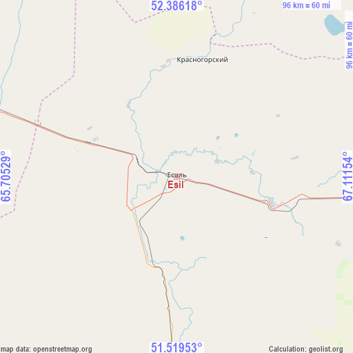
Esil GPS coordinates[2]
51° 57' 17.82" North, 66° 24' 30.276" East
| Map corner | latitude | longitude |
|---|---|---|
| Upper-left | 52.38618°, | 65.70529° |
| Center: | 51.95495°, | 66.40841° |
| Lower-right: | 51.51953°, | 67.11154° |
| Map W x H: | 96.4×96.4 km | = 59.9×59.9mi |
| max Lat: | 54.90596° ⇑17.8% North |
| Esil: | 51.95495° |
| min Lat: | ⇓82.2% South 40.66338° |
| min Long | Esil | max Long |
| 46.83361° | 66.40841° | 84.87144° |
| W 30%⇐ | ⇒70% E |
Elevation
Elevation of Esil is 221 m = 725 ft, and this is 135.5 m = 445 ft below average elevation for this country.
| Max E: |
1847 m = 6060 ft | 62.2% |
| Avg. | 356.5 m = 1170 ft | |
| Esil | 221 m = 725 ft | |
Min E: |
-26 m = -85 ft | 37.8% |
See also: Kazakhstan elevation on elevation.city.
Geographical zone
Esil is located in North temperate zone (between Tropic of Cancer and the Arctic Circle). Distance of this North polar circle is 1624.3 km =1009.3 mi to North.| Distance of | km | miles | from Esil |
|---|---|---|---|
| North Pole | 4230.2 | 2628.5 | to North |
| Arctic Circle | 1624.3 | 1009.3 | to North |
| Tropic Cancer | 3170.9 | 1970.3 | to South |
| Equator | 5776.8 | 3589.5 | to South |


Nearby cities:
15 places around Esil: (largest is in red/bold)
• Arkalyk
193 km =119.9 mi,  169°
169°
• Atbasar
133.2 km =82.8 mi,  97°
97°
• Atbasar
135 km =83.9 mi, 97°
• Balkashino
171.4 km =106.5 mi,  68°
68°
• Birlestik
223.5 km =138.9 mi,  35°
35°
• Derzhavīnsk
95.4 km =59.3 mi,  183°
183°
• Karasu
100.5 km =62.4 mi,  321°
321°
• Krasnogorskiy
33.2 km =20.6 mi,  13°
13°
• Novoishimskiy
140.4 km =87.2 mi, 10°
• Qusmuryn
133.8 km =83.1 mi,  294°
294°
• Shantobe
132.5 km =82.3 mi, 65°
• Timiryazevo
199.6 km =124 mi,  1°
1°
• Volodarskoye
79.6 km =49.5 mi, 9°
• Volodarskoye
187.7 km =116.6 mi, 37°
• Zhaqsy
62.5 km =38.8 mi,  94°
94°
Sources, notices
• [Note1] Compared only with cities in Kazakhstan existing in our database
• [Src1] Map data: © OpenStreetMap contributors (CC-BY-SA)
• [Src2] Other city data from geonames.org with taken over terms of usage.
• [Src3] Geographical zone / Annual Mean Temperature by Robert A. Rohde @ Wikipedia
