Leninskoye geodata
Leninskoye (South Kazakhstan) is a populated place; located in Kazakhstan in Asia/Almaty (GMT+5) time zone. With population of 14,737 people, there are 79 cities with bigger population in this country. Compared to other cities in Kazakhstan, 98.1% of cities are located further ↑North; 56.7% of cities are located further →East and 81.9% of cities have lower elevation than Leninskoye. Note1


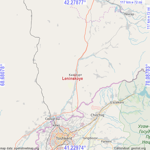
Leninskoye GPS coordinates[2]
41° 45' 23.04" North, 69° 23' 2.04" East
| Map corner | latitude | longitude |
|---|---|---|
| Upper-left | 42.27877°, | 68.68078° |
| Center: | 41.7564°, | 69.3839° |
| Lower-right: | 41.22974°, | 70.08703° |
| Map W x H: | 116.6×116.6 km | = 72.5×72.5mi |
| max Lat: | 54.90596° ⇑98.1% North |
| Leninskoye: | 41.7564° |
| min Lat: | ⇓1.9% South 40.66338° |
| min Long | Leninskoye | max Long |
| 46.83361° | 69.3839° | 84.87144° |
| W 43.3%⇐ | ⇒56.7% E |
Elevation
Elevation of Leninskoye is 585 m = 1919 ft, and this is 228.5 m = 750 ft above average elevation for this country.
| Max E: |
1847 m = 6060 ft | 18.1% |
| Leninskoye | 585 m 1919 ft | |
| Avg. | 356.5 m = 1170 ft | |
Min E: |
-26 m = -85 ft | 81.9% |
See also: Kazakhstan elevation on elevation.city.
Geographical zone
Leninskoye is located in North temperate zone (between Tropic of Cancer and the Arctic Circle). Distance of this Northern Tropic circle is 2037 km =1265.7 mi to South.| Distance of | km | miles | from Leninskoye |
|---|---|---|---|
| North Pole | 5364.2 | 3333.2 | to North |
| Arctic Circle | 2758.3 | 1713.9 | to North |
| Tropic Cancer | 2037 | 1265.7 | to South |
| Equator | 4642.9 | 2885 | to South |


Nearby cities:
15 places around Leninskoye: (largest is in red/bold)
• Arys
88.7 km =55.1 mi,  327°
327°
• Asyqata
128.2 km =79.7 mi,  221°
221°
• Atakent
124.8 km =77.5 mi, 215°
• Belyye Vody
82.5 km =51.3 mi,  26°
26°
• Chardara
130.1 km =80.8 mi,  244°
244°
• Kokterek
109 km =67.7 mi,  41°
41°
• Lenger
62.9 km =39.1 mi, 41°
• Saryaghash
37.5 km =23.3 mi,  208°
208°
• Sastobe
102.1 km =63.4 mi, 29°
• Sayram
68.1 km =42.3 mi, 26°
• Shymkent
63 km =39.1 mi,  16°
16°
• Temirlanovka
94.4 km =58.7 mi,  353°
353°
• Turar Ryskulov
117.5 km =73 mi, 42°
• Tyul’kubas
110.6 km =68.7 mi, 42°
• Zhabagly
117.9 km =73.3 mi,  50°
50°
Sources, notices
• [Note1] Compared only with cities in Kazakhstan existing in our database
• [Src1] Map data: © OpenStreetMap contributors (CC-BY-SA)
• [Src2] Other city data from geonames.org with taken over terms of usage.
• [Src3] Geographical zone / Annual Mean Temperature by Robert A. Rohde @ Wikipedia
