Irtyshsk geodata
Irtyshsk (Pavlodar Region) is a populated place; located in Kazakhstan in Asia/Almaty (GMT+5) time zone. With population of 9,216 people, there are 129 cities with bigger population in this country. Compared to other cities in Kazakhstan, 93.7% of cities are located further ↓South; 74.4% of cities are located further ←West and 85.2% of cities have higher elevation than Irtyshsk. Note1


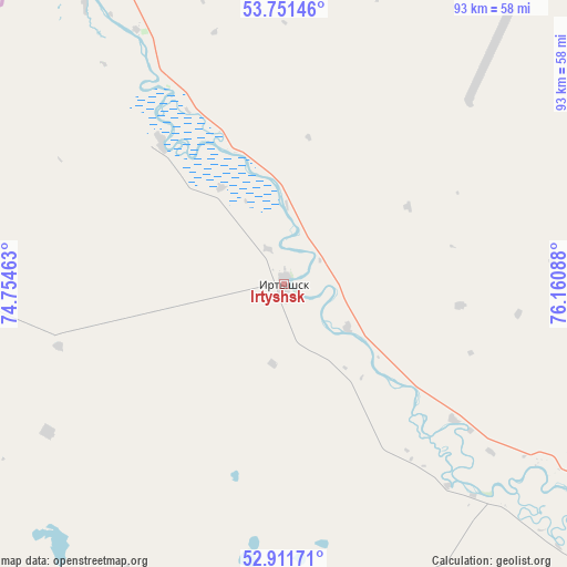
Irtyshsk GPS coordinates[2]
53° 20' 1.14" North, 75° 27' 27.9" East
| Map corner | latitude | longitude |
|---|---|---|
| Upper-left | 53.75146°, | 74.75463° |
| Center: | 53.33365°, | 75.45775° |
| Lower-right: | 52.91171°, | 76.16088° |
| Map W x H: | 93.4×93.4 km | = 58×58mi |
| max Lat: | 54.90596° ⇑6.3% North |
| Irtyshsk: | 53.33365° |
| min Lat: | ⇓93.7% South 40.66338° |
| min Long | Irtyshsk | max Long |
| 46.83361° | 75.45775° | 84.87144° |
| W 74.4%⇐ | ⇒25.6% E |
Elevation
Elevation of Irtyshsk is 91 m = 299 ft, and this is 265.5 m = 871 ft below average elevation for this country.
| Max E: |
1847 m = 6060 ft | 85.2% |
| Avg. | 356.5 m = 1170 ft | |
| Irtyshsk | 91 m = 299 ft | |
Min E: |
-26 m = -85 ft | 14.8% |
See also: Kazakhstan elevation on elevation.city.
Geographical zone
Irtyshsk is located in North temperate zone (between Tropic of Cancer and the Arctic Circle). Distance of this North polar circle is 1471 km =914 mi to North.| Distance of | km | miles | from Irtyshsk |
|---|---|---|---|
| North Pole | 4076.9 | 2533.3 | to North |
| Arctic Circle | 1471 | 914 | to North |
| Tropic Cancer | 3324.2 | 2065.6 | to South |
| Equator | 5930.1 | 3684.8 | to South |


Nearby cities:
15 places around Irtyshsk: (largest is in red/bold)
• Aksu
174.6 km =108.5 mi,  145°
145°
• Aksu
254.8 km =158.3 mi,  247°
247°
• Belogor’ye
242.6 km =150.7 mi, 145°
• Bestobe
183.6 km =114.1 mi,  239°
239°
• Ekibastuz
179.2 km =111.3 mi,  182°
182°
• Kalkaman
158.2 km =98.3 mi,  165°
165°
• Kzyltu
208.9 km =129.8 mi,  279°
279°
• Leninskiy
149.5 km =92.9 mi,  143°
143°
• Mayqayyng
209.7 km =130.3 mi, 173°
• Pavlodar
154.7 km =96.1 mi, 139°
• Qashyr
52.3 km =32.5 mi,  124°
124°
• Talshik
239.5 km =148.8 mi, 278°
• Yermentau
248.1 km =154.2 mi,  219°
219°
• Zavodskoy
250 km =155.3 mi, 247°
• Zhelezinka
24.7 km =15.3 mi,  337°
337°
Sources, notices
• [Note1] Compared only with cities in Kazakhstan existing in our database
• [Src1] Map data: © OpenStreetMap contributors (CC-BY-SA)
• [Src2] Other city data from geonames.org with taken over terms of usage.
• [Src3] Geographical zone / Annual Mean Temperature by Robert A. Rohde @ Wikipedia
