Pakxan geodata
Pakxan (Bolikhamsai) is a seat of a first-order administrative division; located in Laos in Asia/Vientiane (GMT+7) time zone. With population of 21,967 people, there are 9 cities with bigger population in this country. Compared to other cities in Laos, 50% of cities are located further ↓South; 57.7% of cities are located further →East and 82.7% of cities have higher elevation than Pakxan. Note1


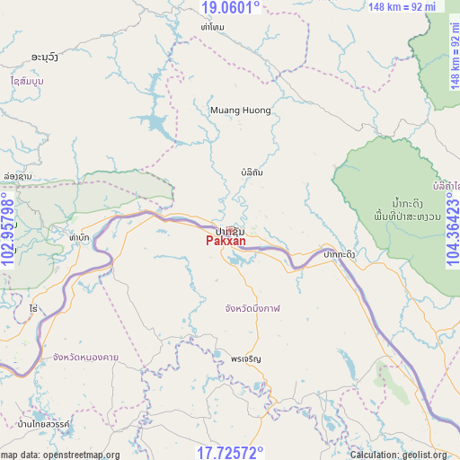
Pakxan GPS coordinates[2]
18° 23' 39.12" North, 103° 39' 39.96" East
| Map corner | latitude | longitude |
|---|---|---|
| Upper-left | 19.0601°, | 102.95798° |
| Center: | 18.3942°, | 103.6611° |
| Lower-right: | 17.72572°, | 104.36423° |
| Map W x H: | 148.4×148.4 km | = 92.2×92.2mi |
| max Lat: | 21.6808° ⇑50% North |
| Pakxan: | 18.3942° |
| min Lat: | ⇓50% South 14.11785° |
| min Long | Pakxan | max Long |
| 100.4178° | 103.6611° | 107.26667° |
| W 42.3%⇐ | ⇒57.7% E |
Elevation
Elevation of Pakxan is 147 m = 482 ft, and this is 326.6 m = 1072 ft below average elevation for this country.
| Max E: |
1722 m = 5650 ft | 82.7% |
| Avg. | 473.6 m = 1554 ft | |
| Pakxan | 147 m = 482 ft | |
Min E: |
83 m = 272 ft | 17.3% |
See also: Laos elevation on elevation.city.
Geographical zone
Pakxan is located in North Torrid zone (between Equator and Tropic of Cancer). Distance of this Northern Tropic circle is 560.7 km =348.4 mi to North.| Distance of | km | miles | from Pakxan |
|---|---|---|---|
| North Pole | 7961.8 | 4947.2 | to North |
| Arctic Circle | 5355.9 | 3328 | to North |
| Tropic Cancer | 560.7 | 348.4 | to North |
| Equator | 2045.2 | 1270.8 | to South |


Nearby cities:
15 places around Pakxan: (largest is in red/bold)
• Ban Nahin
60.6 km =37.7 mi,  106°
106°
• Borikhan
20 km =12.4 mi,  20°
20°
• Huameung
196.2 km =121.9 mi,  6°
6°
• Muang Hinboun
133.9 km =83.2 mi,  131°
131°
• Muang Kasi
174.9 km =108.7 mi,  302°
302°
• Muang Khamkeut
114.5 km =71.1 mi,  99°
99°
• Muang Mok
67.9 km =42.2 mi,  32°
32°
• Muang Phôn-Hông
131.9 km =82 mi,  274°
274°
• Muang Phônsavan
127.3 km =79.1 mi,  337°
337°
• Pakkading
36 km =22.4 mi, 102°
• Thakhèk
165.2 km =102.7 mi, 131°
• Vangviang
140.7 km =87.4 mi,  294°
294°
• Viengthong
216.6 km =134.6 mi,  352°
352°
• Vientiane
121.8 km =75.7 mi,  247°
247°
• Xamtay
194.5 km =120.9 mi, 27°
Sources, notices
• [Note1] Compared only with cities in Laos existing in our database
• [Src1] Map data: © OpenStreetMap contributors (CC-BY-SA)
• [Src2] Other city data from geonames.org with taken over terms of usage.
• [Src3] Geographical zone / Annual Mean Temperature by Robert A. Rohde @ Wikipedia
