Xamtay geodata
Xamtay (Houaphan) is a seat of a second-order administrative division; located in Laos in Asia/Vientiane (GMT+7) time zone. In our database, there are 24 cities with bigger population. Compared to other cities in Laos, 69.2% of cities are located further ↓South; 59.6% of cities are located further ←West and 100% of cities have lower elevation than Xamtay. Note1


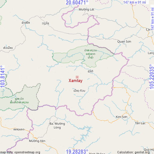
Xamtay GPS coordinates[2]
19° 56' 42.54" North, 104° 31' 1.992" East
| Map corner | latitude | longitude |
|---|---|---|
| Upper-left | 20.60471°, | 103.8141° |
| Center: | 19.94515°, | 104.51722° |
| Lower-right: | 19.28283°, | 105.22035° |
| Map W x H: | 147×147 km | = 91.3×91.3mi |
| max Lat: | 21.6808° ⇑30.8% North |
| Xamtay: | 19.94515° |
| min Lat: | ⇓69.2% South 14.11785° |
| min Long | Xamtay | max Long |
| 100.4178° | 104.51722° | 107.26667° |
| W 59.6%⇐ | ⇒40.4% E |
Elevation
Elevation of Xamtay is 1722 m = 5650 ft, and this is 1248.4 m = 4096 ft above average elevation for this country.
| Max E: |
1722 m = 5650 ft | 0% |
| Xamtay | 1722 m 5650 ft | |
| Avg. | 473.6 m = 1554 ft | |
Min E: |
83 m = 272 ft | 100% |
See also: Laos elevation on elevation.city.
Geographical zone
Xamtay is located in North Torrid zone (between Equator and Tropic of Cancer). Distance of this Northern Tropic circle is 388.2 km =241.2 mi to North.| Distance of | km | miles | from Xamtay |
|---|---|---|---|
| North Pole | 7789.4 | 4840.1 | to North |
| Arctic Circle | 5183.5 | 3220.9 | to North |
| Tropic Cancer | 388.2 | 241.2 | to North |
| Equator | 2217.7 | 1378 | to South |


Nearby cities:
15 places around Xamtay: (largest is in red/bold)
• Ban Nahin
192 km =119.3 mi,  189°
189°
• Ban Namnga
231.1 km =143.6 mi,  306°
306°
• Borikhan
174.7 km =108.6 mi,  208°
208°
• Huameung
72.4 km =45 mi,  288°
288°
• Khoa
244.4 km =151.9 mi,  301°
301°
• Muang Khamkeut
192.5 km =119.6 mi,  173°
173°
• Muang Mok
127 km =78.9 mi,  204°
204°
• Muang Phônsavan
149.3 km =92.8 mi,  248°
248°
• Pakkading
188.4 km =117.1 mi, 196°
• Pakxan
194.5 km =120.9 mi, 207°
• Vangviang
244.9 km =152.2 mi,  242°
242°
• Viangxai
59.8 km =37.2 mi,  329°
329°
• Viengthong
123.3 km =76.6 mi, 290°
• Viengxay
47.7 km =29.6 mi,  337°
337°
• Xam Nua
71.9 km =44.7 mi,  316°
316°
Sources, notices
• [Note1] Compared only with cities in Laos existing in our database
• [Src1] Map data: © OpenStreetMap contributors (CC-BY-SA)
• [Src2] Other city data from geonames.org with taken over terms of usage.
• [Src3] Geographical zone / Annual Mean Temperature by Robert A. Rohde @ Wikipedia
