Şabrātah geodata
Şabrātah (Az Zāwiyah) is a populated place; located in Libya in Africa/Tripoli (GMT+2) time zone. With population of 102,038 people, there are 14 cities with bigger population in this country. Compared to other cities in Libya, 92.5% of cities are located further ↓South; 84.9% of cities are located further →East and 73.6% of cities have higher elevation than Şabrātah. Note1


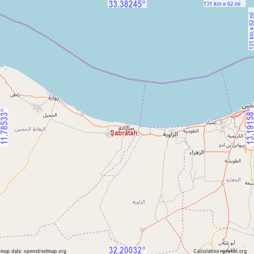
Şabrātah GPS coordinates[2]
32° 47' 36.06" North, 12° 29' 18.42" East
| Map corner | latitude | longitude |
|---|---|---|
| Upper-left | 33.38245°, | 11.78533° |
| Center: | 32.79335°, | 12.48845° |
| Lower-right: | 32.20032°, | 13.19158° |
| Map W x H: | 131.4×131.4 km | = 81.6×81.6mi |
| max Lat: | 32.94699° ⇑7.5% North |
| Şabrātah: | 32.79335° |
| min Lat: | ⇓92.5% South 24.1989° |
| min Long | Şabrātah | max Long |
| 9.50072° | 12.48845° | 25.0866° |
| W 15.1%⇐ | ⇒84.9% E |
Elevation
Elevation of Şabrātah is 17 m = 56 ft, and this is 215.2 m = 706 ft below average elevation for this country.
| Max E: |
704 m = 2310 ft | 73.6% |
| Avg. | 232.2 m = 762 ft | |
| Şabrātah | 17 m = 56 ft | |
Min E: |
3 m = 10 ft | 26.4% |
See also: Şabrātah elevation on elevation.city.
Geographical zone
Şabrātah is located in North temperate zone (between Tropic of Cancer and the Arctic Circle). Distance of this Northern Tropic circle is 1040.4 km =646.5 mi to South.| Distance of | km | miles | from Şabrātah |
|---|---|---|---|
| North Pole | 6360.8 | 3952.4 | to North |
| Arctic Circle | 3754.9 | 2333.2 | to North |
| Tropic Cancer | 1040.4 | 646.5 | to South |
| Equator | 3646.3 | 2265.7 | to South |


Nearby cities:
15 places around Şabrātah: (largest is in red/bold)
• Al Ajaylat
11.2 km =7 mi,  249°
249°
• Al ‘Azīzīyah
57.4 km =35.7 mi,  120°
120°
• Az Zāwīyah
22.7 km =14.1 mi,  100°
100°
• Gharyan
85.2 km =52.9 mi,  144°
144°
• Giado
102.7 km =63.8 mi,  204°
204°
• Masallātah
142.8 km =88.7 mi, 97°
• Tagiura
81.1 km =50.4 mi,  83°
83°
• Tarhuna
114.4 km =71.1 mi,  110°
110°
• Tripoli
66.1 km =41.1 mi, 80°
• Yafran
81.3 km =50.5 mi,  177°
177°
• Zalţan
60.5 km =37.6 mi,  286°
286°
• Zawiya
22.8 km =14.2 mi, 101°
• Zintan
98.3 km =61.1 mi,  192°
192°
• Zuwārah
40.9 km =25.4 mi, 291°
• Şurmān
8.8 km =5.5 mi, 117°
Sources, notices
• [Note1] Compared only with cities in Libya existing in our database
• [Src1] Map data: © OpenStreetMap contributors (CC-BY-SA)
• [Src2] Other city data from geonames.org with taken over terms of usage.
• [Src3] Geographical zone / Annual Mean Temperature by Robert A. Rohde @ Wikipedia
