Thanatpin geodata
Thanatpin (Bago) is a populated place; located in Myanmar in Asia/Yangon (GMT+6.5) time zone. With population of 38,059 people, there are 62 cities with bigger population in this country. Compared to other cities in Myanmar, 58.1% of cities are located further ↑North; 63.5% of cities are located further ←West and 85.1% of cities have higher elevation than Thanatpin. Note1


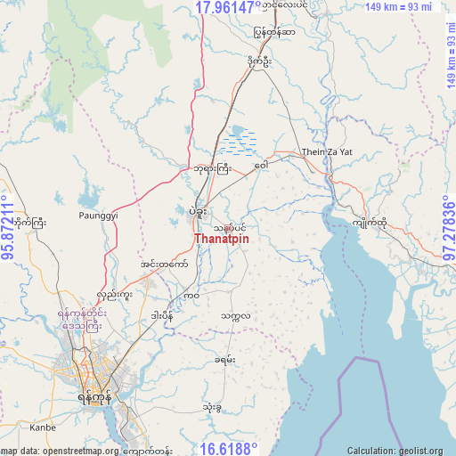
Thanatpin GPS coordinates[2]
17° 17' 28.896" North, 96° 34' 30.828" East
| Map corner | latitude | longitude |
|---|---|---|
| Upper-left | 17.96147°, | 95.87211° |
| Center: | 17.29136°, | 96.57523° |
| Lower-right: | 16.6188°, | 97.27836° |
| Map W x H: | 149.3×149.3 km | = 92.8×92.8mi |
| max Lat: | 25.38327° ⇑58.1% North |
| Thanatpin: | 17.29136° |
| min Lat: | ⇓41.9% South 9.98238° |
| min Long | Thanatpin | max Long |
| 92.89835° | 96.57523° | 99.88083° |
| W 63.5%⇐ | ⇒36.5% E |
Elevation
Elevation of Thanatpin is 13 m = 43 ft, and this is 175.9 m = 577 ft below average elevation for this country.
| Max E: |
1768 m = 5801 ft | 85.1% |
| Avg. | 188.9 m = 620 ft | |
| Thanatpin | 13 m = 43 ft | |
Min E: |
5 m = 16 ft | 14.9% |
See also: Myanmar elevation on elevation.city.
Geographical zone
Thanatpin is located in North Torrid zone (between Equator and Tropic of Cancer). Distance of this Northern Tropic circle is 683.3 km =424.6 mi to North.| Distance of | km | miles | from Thanatpin |
|---|---|---|---|
| North Pole | 8084.4 | 5023.4 | to North |
| Arctic Circle | 5478.6 | 3404.2 | to North |
| Tropic Cancer | 683.3 | 424.6 | to North |
| Equator | 1922.6 | 1194.6 | to South |


Nearby cities:
15 places around Thanatpin: (largest is in red/bold)
• Bago
11.1 km =6.9 mi,  296°
296°
• Hpa-An
121.2 km =75.3 mi,  111°
111°
• Kanbe
89.1 km =55.4 mi,  223°
223°
• Kayan
42.7 km =26.5 mi,  182°
182°
• Kyaikto
46.3 km =28.8 mi,  87°
87°
• Letpandan
103.3 km =64.2 mi, 302°
• Maubin
116 km =72.1 mi,  237°
237°
• Nyaungdon
103.1 km =64.1 mi,  254°
254°
• Nyaunglebin
75.3 km =46.8 mi,  11°
11°
• Syriam
67.9 km =42.2 mi,  211°
211°
• Tharyarwady
92.7 km =57.6 mi, 295°
• Thaton
94.1 km =58.5 mi,  116°
116°
• Thongwa
59.3 km =36.8 mi,  185°
185°
• Twante
94.3 km =58.6 mi,  226°
226°
• Yangon
70 km =43.5 mi, 219°
Sources, notices
• [Note1] Compared only with cities in Myanmar existing in our database
• [Src1] Map data: © OpenStreetMap contributors (CC-BY-SA)
• [Src2] Other city data from geonames.org with taken over terms of usage.
• [Src3] Geographical zone / Annual Mean Temperature by Robert A. Rohde @ Wikipedia
