Nyaunglebin geodata
Nyaunglebin (Bago) is a populated place; located in Myanmar in Asia/Yangon (GMT+6.5) time zone. With population of 89,626 people, there are 28 cities with bigger population in this country. Compared to other cities in Myanmar, 50% of cities are located further ↓South; 64.9% of cities are located further ←West and 70.3% of cities have higher elevation than Nyaunglebin. Note1


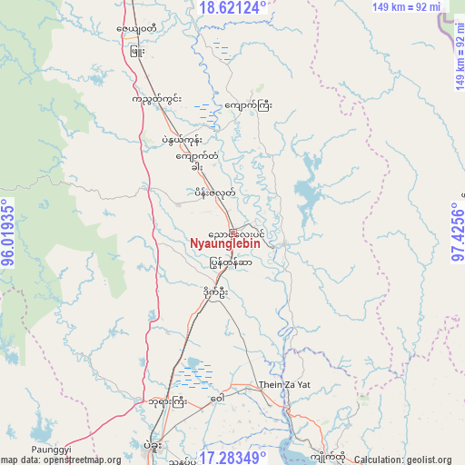
Nyaunglebin GPS coordinates[2]
17° 57' 13.068" North, 96° 43' 20.892" East
| Map corner | latitude | longitude |
|---|---|---|
| Upper-left | 18.62124°, | 96.01935° |
| Center: | 17.95363°, | 96.72247° |
| Lower-right: | 17.28349°, | 97.4256° |
| Map W x H: | 148.7×148.7 km | = 92.4×92.4mi |
| max Lat: | 25.38327° ⇑50% North |
| Nyaunglebin: | 17.95363° |
| min Lat: | ⇓50% South 9.98238° |
| min Long | Nyaunglebin | max Long |
| 92.89835° | 96.72247° | 99.88083° |
| W 64.9%⇐ | ⇒35.1% E |
Elevation
Elevation of Nyaunglebin is 19 m = 62 ft, and this is 169.9 m = 557 ft below average elevation for this country.
| Max E: |
1768 m = 5801 ft | 70.3% |
| Avg. | 188.9 m = 620 ft | |
| Nyaunglebin | 19 m = 62 ft | |
Min E: |
5 m = 16 ft | 29.7% |
See also: Nyaunglebin elevation on elevation.city.
Geographical zone
Nyaunglebin is located in North Torrid zone (between Equator and Tropic of Cancer). Distance of this Northern Tropic circle is 609.7 km =378.8 mi to North.| Distance of | km | miles | from Nyaunglebin |
|---|---|---|---|
| North Pole | 8010.8 | 4977.7 | to North |
| Arctic Circle | 5404.9 | 3358.4 | to North |
| Tropic Cancer | 609.7 | 378.8 | to North |
| Equator | 1996.3 | 1240.4 | to South |


Nearby cities:
15 places around Nyaunglebin: (largest is in red/bold)
• Bago
73.4 km =45.6 mi,  200°
200°
• Hinthada
138.2 km =85.9 mi,  255°
255°
• Kayan
117.5 km =73 mi,  188°
188°
• Kyaikto
78 km =48.5 mi,  156°
156°
• Letpandan
104.5 km =64.9 mi, 259°
• Myanaung
152.7 km =94.9 mi,  284°
284°
• Paungde
141.7 km =88 mi,  294°
294°
• Pyu
65.9 km =40.9 mi,  332°
332°
• Syriam
141.1 km =87.7 mi, 201°
• Taungoo
114.1 km =70.9 mi,  344°
344°
• Thanatpin
75.3 km =46.8 mi, 191°
• Tharyarwady
104.4 km =64.9 mi,  251°
251°
• Thaton
134 km =83.3 mi,  149°
149°
• Thongwa
134.4 km =83.5 mi, 188°
• Yangon
141.1 km =87.7 mi,  205°
205°
Sources, notices
• [Note1] Compared only with cities in Myanmar existing in our database
• [Src1] Map data: © OpenStreetMap contributors (CC-BY-SA)
• [Src2] Other city data from geonames.org with taken over terms of usage.
• [Src3] Geographical zone / Annual Mean Temperature by Robert A. Rohde @ Wikipedia
