Myaydo geodata
Myaydo (Magway) is a populated place; located in Myanmar in Asia/Yangon (GMT+6.5) time zone. With population of 57,897 people, there are 39 cities with bigger population in this country. Compared to other cities in Myanmar, 59.5% of cities are located further ↓South; 82.4% of cities are located further →East and 55.4% of cities have lower elevation than Myaydo. Note1


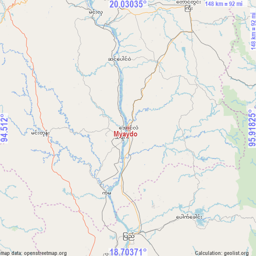
Myaydo GPS coordinates[2]
19° 22' 6.168" North, 95° 12' 54.432" East
| Map corner | latitude | longitude |
|---|---|---|
| Upper-left | 20.03035°, | 94.512° |
| Center: | 19.36838°, | 95.21512° |
| Lower-right: | 18.70371°, | 95.91825° |
| Map W x H: | 147.5×147.5 km | = 91.7×91.7mi |
| max Lat: | 25.38327° ⇑40.5% North |
| Myaydo: | 19.36838° |
| min Lat: | ⇓59.5% South 9.98238° |
| min Long | Myaydo | max Long |
| 92.89835° | 95.21512° | 99.88083° |
| W 17.6%⇐ | ⇒82.4% E |
Elevation
Elevation of Myaydo is 48 m = 157 ft, and this is 140.9 m = 462 ft below average elevation for this country.
| Max E: |
1768 m = 5801 ft | 44.6% |
| Avg. | 188.9 m = 620 ft | |
| Myaydo | 48 m = 157 ft | |
Min E: |
5 m = 16 ft | 55.4% |
See also: Myaydo elevation on elevation.city.
Geographical zone
Myaydo is located in North Torrid zone (between Equator and Tropic of Cancer). Distance of this Northern Tropic circle is 452.4 km =281.1 mi to North.| Distance of | km | miles | from Myaydo |
|---|---|---|---|
| North Pole | 7853.5 | 4879.9 | to North |
| Arctic Circle | 5247.6 | 3260.7 | to North |
| Tropic Cancer | 452.4 | 281.1 | to North |
| Equator | 2153.6 | 1338.2 | to South |


Nearby cities:
15 places around Myaydo: (largest is in red/bold)
• Chauk
175.2 km =108.9 mi,  346°
346°
• Magway
91.8 km =57 mi,  341°
341°
• Meiktila
180.8 km =112.3 mi,  21°
21°
• Minbu
97 km =60.3 mi, 338°
• Myanaung
120.8 km =75.1 mi,  174°
174°
• Nay Pyi Taw
104.6 km =65 mi,  66°
66°
• Paungde
102.2 km =63.5 mi,  162°
162°
• Pyay
60.5 km =37.6 mi,  179°
179°
• Pyinmana
111.8 km =69.5 mi, 68°
• Pyu
162 km =100.7 mi,  127°
127°
• Taungdwingyi
78.9 km =49 mi,  25°
25°
• Taungoo
136.5 km =84.8 mi,  110°
110°
• Thayetmyo
6.3 km =3.9 mi,  212°
212°
• Yamethin
152.7 km =94.9 mi,  39°
39°
• Yenangyaung
127.1 km =79 mi, 343°
Sources, notices
• [Note1] Compared only with cities in Myanmar existing in our database
• [Src1] Map data: © OpenStreetMap contributors (CC-BY-SA)
• [Src2] Other city data from geonames.org with taken over terms of usage.
• [Src3] Geographical zone / Annual Mean Temperature by Robert A. Rohde @ Wikipedia
