Jargalant geodata
Jargalant (Orhon) is a seat of a second-order administrative division; located in Mongolia in Asia/Ulaanbaatar (GMT+8) time zone. In our database, there are 33 cities with bigger population. Compared to other cities in Mongolia, 79.8% of cities are located further ↓South; 59.8% of cities are located further ←West and 61.7% of cities have higher elevation than Jargalant. Note1


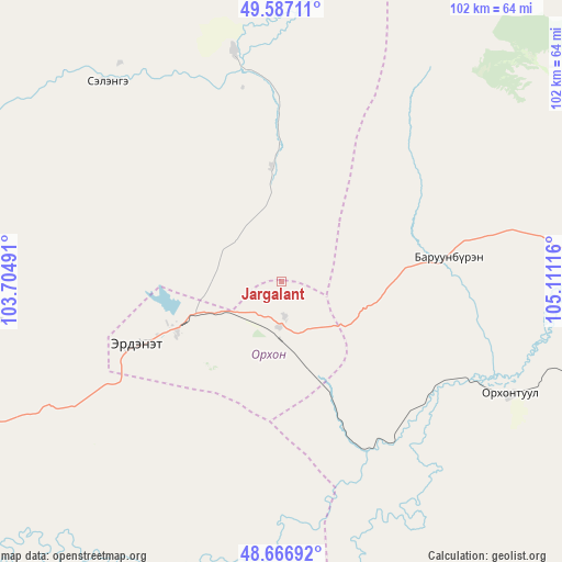
Jargalant GPS coordinates[2]
49° 7' 44.94" North, 104° 24' 28.908" East
| Map corner | latitude | longitude |
|---|---|---|
| Upper-left | 49.58711°, | 103.70491° |
| Center: | 49.12915°, | 104.40803° |
| Lower-right: | 48.66692°, | 105.11116° |
| Map W x H: | 102.3×102.3 km | = 63.6×63.6mi |
| max Lat: | 51.50725° ⇑20.2% North |
| Jargalant: | 49.12915° |
| min Lat: | ⇓79.8% South 42.84199° |
| min Long | Jargalant | max Long |
| 89.14358° | 104.40803° | 118.51014° |
| W 59.8%⇐ | ⇒40.2% E |
Elevation
Elevation of Jargalant is 1266 m = 4154 ft, and this is 150.5 m = 494 ft below average elevation for this country.
| Max E: |
2800 m = 9186 ft | 61.7% |
| Avg. | 1416.5 m = 4647 ft | |
| Jargalant | 1266 m = 4154 ft | |
Min E: |
619 m = 2031 ft | 38.3% |
See also: Mongolia elevation on elevation.city.
Geographical zone
Jargalant is located in North temperate zone (between Tropic of Cancer and the Arctic Circle). Distance of this North polar circle is 1938.5 km =1204.5 mi to North.| Distance of | km | miles | from Jargalant |
|---|---|---|---|
| North Pole | 4544.4 | 2823.8 | to North |
| Arctic Circle | 1938.5 | 1204.5 | to North |
| Tropic Cancer | 2856.7 | 1775.1 | to South |
| Equator | 5462.6 | 3394.3 | to South |


Nearby cities:
15 places around Jargalant: (largest is in red/bold)
• Bat-Öldziyt
105.1 km =65.3 mi,  165°
165°
• Bugat
54.5 km =33.9 mi,  262°
262°
• Bulgan
72.8 km =45.2 mi,  241°
241°
• Burgaltay
28.7 km =17.8 mi,  58°
58°
• Darhan
104.7 km =65.1 mi,  201°
201°
• Enhtal
71.4 km =44.4 mi,  79°
79°
• Erdenet
25.9 km =16.1 mi,  245°
245°
• Hushaat
96.8 km =60.1 mi, 64°
• Ingettolgoy
48.5 km =30.1 mi,  319°
319°
• Mandal
84.8 km =52.7 mi,  229°
229°
• Nart
71.3 km =44.3 mi,  88°
88°
• Nomgon
91.8 km =57 mi, 85°
• Orgil
100.4 km =62.4 mi,  138°
138°
• Orhontuul
45.9 km =28.5 mi,  115°
115°
• Sört
21 km =13 mi,  354°
354°
Sources, notices
• [Note1] Compared only with cities in Mongolia existing in our database
• [Src1] Map data: © OpenStreetMap contributors (CC-BY-SA)
• [Src2] Other city data from geonames.org with taken over terms of usage.
• [Src3] Geographical zone / Annual Mean Temperature by Robert A. Rohde @ Wikipedia
