Mchinji geodata
Mchinji (Central Region) is a seat of a second-order administrative division; located in Malawi in Africa/Blantyre (GMT+2) time zone. With population of 18,305 people, there are 14 cities with bigger population in this country. Compared to other cities in Malawi, 60% of cities are located further ↓South; 100% of cities are located further →East and 77.1% of cities have lower elevation than Mchinji. Note1


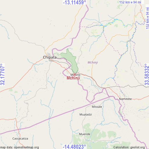
Mchinji GPS coordinates[2]
13° 47' 54.276" South, 32° 52' 48.684" East
| Map corner | latitude | longitude |
|---|---|---|
| Upper-left | -13.11459°, | 32.17707° |
| Center: | -13.79841°, | 32.88019° |
| Lower-right: | -14.48023°, | 33.58332° |
| Map W x H: | 151.8×151.8 km | = 94.3×94.3mi |
| max Lat: | -9.70237° ⇑40% North |
| Mchinji: | -13.79841° |
| min Lat: | ⇓60% South -16.91995° |
| min Long | Mchinji | max Long |
| 32.88019° | 32.88019° | 35.65067° |
| W 0%⇐ | ⇒100% E |
Elevation
Elevation of Mchinji is 1186 m = 3891 ft, and this is 317.3 m = 1041 ft above average elevation for this country.
| Max E: |
1608 m = 5276 ft | 22.9% |
| Mchinji | 1186 m 3891 ft | |
| Avg. | 868.7 m = 2850 ft | |
Min E: |
55 m = 180 ft | 77.1% |
See also: Malawi elevation on elevation.city.
Geographical zone
Mchinji is located in South Torrid zone (between Equator and Tropic of Capricorn). Distance of this Southern Tropic circle is 1071.7 km =665.9 mi to South.| Distance of | km | miles | from Mchinji |
|---|---|---|---|
| Equator | 1534.2 | 953.3 | to North |
| Tropic Capricorn | 1071.7 | 665.9 | to South |
| Antarctic Circle | 5866.9 | 3645.5 | to South |
| South Pole | 8472.8 | 5264.8 | to South |


Nearby cities:
15 places around Mchinji: (largest is in red/bold)
• Balaka
259.2 km =161.1 mi,  120°
120°
• Chipoka
177.8 km =110.5 mi,  96°
96°
• Dedza
169.4 km =105.3 mi,  112°
112°
• Dowa
115.3 km =71.6 mi,  81°
81°
• Kasungu
107.2 km =66.6 mi,  37°
37°
• Lilongwe
99.7 km =62 mi, 100°
• Monkey Bay
222 km =137.9 mi, 98°
• Mponela
97.5 km =60.6 mi,  72°
72°
• Mwanza
267.4 km =166.2 mi,  138°
138°
• Mzimba
225 km =139.8 mi,  20°
20°
• Neno
260.8 km =162.1 mi,  132°
132°
• Nkhotakota
181.2 km =112.6 mi,  57°
57°
• Ntcheu
220.7 km =137.1 mi, 120°
• Ntchisi
115.8 km =72 mi, 74°
• Salima
170.5 km =105.9 mi,  89°
89°
Sources, notices
• [Note1] Compared only with cities in Malawi existing in our database
• [Src1] Map data: © OpenStreetMap contributors (CC-BY-SA)
• [Src2] Other city data from geonames.org with taken over terms of usage.
• [Src3] Geographical zone / Annual Mean Temperature by Robert A. Rohde @ Wikipedia
