Angoram geodata
Angoram (East Sepik) is a populated place; located in Papua New Guinea in Pacific/Port_Moresby (GMT+10) time zone. With population of 1,604 people, there are 33 cities with bigger population in this country. Compared to other cities in Papua New Guinea, 88.6% of cities are located further ↓South; 70.5% of cities are located further →East and 100% of cities have higher elevation than Angoram. Note1


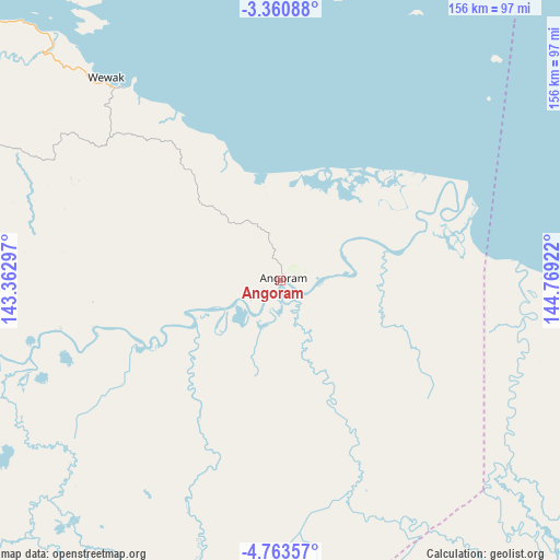
Angoram GPS coordinates[2]
4° 3' 45.108" South, 144° 3' 57.924" East
| Map corner | latitude | longitude |
|---|---|---|
| Upper-left | -3.36088°, | 143.36297° |
| Center: | -4.06253°, | 144.06609° |
| Lower-right: | -4.76357°, | 144.76922° |
| Map W x H: | 156×156 km | = 96.9×96.9mi |
| max Lat: | -2.0341° ⇑11.4% North |
| Angoram: | -4.06253° |
| min Lat: | ⇓88.6% South -10.61038° |
| min Long | Angoram | max Long |
| 141.29061° | 144.06609° | 155.69147° |
| W 29.5%⇐ | ⇒70.5% E |
Elevation
Elevation of Angoram is 0 m = 0 ft, and this is 581 m = 1906 ft below average elevation for this country.
| Max E: |
2248 m = 7375 ft | 100% |
| Avg. | 581 m = 1906 ft | |
| Angoram | 0 m = 0 ft | |
Min E: |
0 m = 0 ft | 0% |
See also: Papua New Guinea elevation on elevation.city.
Geographical zone
Angoram is located in South Torrid zone (between Equator and Tropic of Capricorn). Distance of Equator is 451.7 km =280.7 mi to North.| Distance of | km | miles | from Angoram |
|---|---|---|---|
| Equator | 451.7 | 280.7 | to North |
| Tropic Capricorn | 2154.2 | 1338.6 | to South |
| Antarctic Circle | 6949.5 | 4318.2 | to South |
| South Pole | 9555.4 | 5937.4 | to South |


Nearby cities:
15 places around Angoram: (largest is in red/bold)
• Aitape
216.5 km =134.5 mi,  298°
298°
• Ambunti
139.4 km =86.6 mi,  262°
262°
• Ialibu
246.9 km =153.4 mi,  181°
181°
• Kundiawa
239.5 km =148.8 mi,  155°
155°
• Kurumul
208.9 km =129.8 mi, 162°
• Laiagam
144.3 km =89.7 mi,  192°
192°
• Madang
230.2 km =143 mi,  124°
124°
• Mendi
236.2 km =146.8 mi, 191°
• Minj
216.5 km =134.5 mi, 161°
• Mount Hagen
200.4 km =124.5 mi,  174°
174°
• Porgera
186 km =115.6 mi,  213°
213°
• Rauna
187.7 km =116.6 mi, 172°
• Tari
233.8 km =145.3 mi, 212°
• Wabag
163.4 km =101.5 mi, 193°
• Wewak
74.6 km =46.4 mi,  319°
319°
Sources, notices
• [Note1] Compared only with cities in Papua New Guinea existing in our database
• [Src1] Map data: © OpenStreetMap contributors (CC-BY-SA)
• [Src2] Other city data from geonames.org with taken over terms of usage.
• [Src3] Geographical zone / Annual Mean Temperature by Robert A. Rohde @ Wikipedia
